
Surrounded by a surreal landscape of pink and orange rock spires and canyons, these Bryce Canyon hikes get right into the heart of the national park.

From short walks and scenic viewpoints to lengthy hikes with significant elevation changes, Bryce Canyon National Park offers hiking opportunities for people of all abilities. Paved pathways follow the rim of the canyon providing panoramic views while steep switchback hiking trails lead deep into the canyon to pathways winding through the hoodoos and rock formations.
Disclosure: Making bookings through links on this page will earn me a small commission and assist in the upkeep of this website at no extra cost to you. Thank you for your support.
BRYCE CANYON NATIONAL PARK
Located in south western Utah, Bryce Canyon National Park offers some of the most incredible scenery in the United States. Whilst not technically a canyon carved out by a river, Bryce Canyon is a series of bowls and amphitheaters which have developed over time, leaving a collection of eroded spires and rock formations, known as hoodoos. An 18-mile road runs north to south through the national park along the high altitude rim of the canyon, averaging at an elevation of between 8,000 and 9,000 feet, providing access to a number of scenic viewpoints and hiking trailheads.

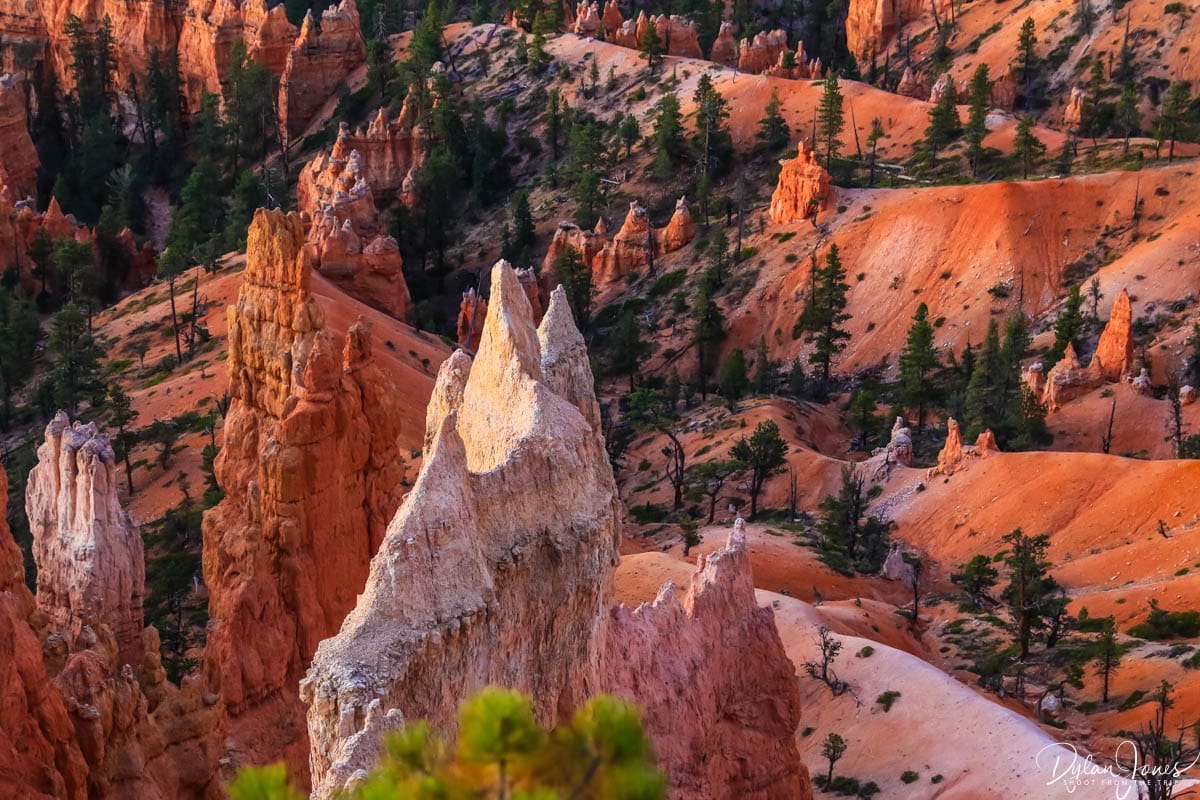
The majority of the main viewpoints and hiking trails are focused around Bryce Amphitheater, situated to the northern end of the park. This area features campgrounds and lodging options, making it one of the busiest and more popular areas of Bryce Canyon. During peak season, shuttle buses run to ease traffic and parking congestion. Bryce Canyon’s scenery is unlike anywhere else we have visited, and as the first stop on our Utah road trip, set the bar really high.
MY FAVOURITE BRYCE CANYON HIKES
We spent two nights at Bryce Canyon National Park, allowing for one afternoon and one full day to explore the national park. During this time, we headed out on a number of Bryce Canyon hikes; some short and some more strenuous, but all equally rewarding in terms of views and scenery. Staying in the heart of the national park at Bryce Canyon Lodge allowed access by foot to the main trailheads.
TOP TIP: Be sure to stop off at the Bryce Canyon National Park Visitor Center when you arrive. You can collect maps of the park which feature all hiking trails and current conditions, along with any additional information about trail closures, weather forecasts and general information.
SHORT AND ACCESSIBLE BRYCE CANYON HIKES
With most US national parks, accessibility is key to enjoying these scenic locations. Bryce Canyon is no different, with plenty of viewpoints being fully accessible from nearby parking lots. With some of Bryce Canyon’s scenic viewpoints only a short distance from the parking areas on paved footpaths, along with most parking lots having toilet facilities, everyone has the opportunity to enjoy this natural wonder.
VIEWPOINTS ALONG THE BRYCE POINT ROAD
Our first afternoon at Bryce Canyon National Park was spent exploring the scenic viewpoints along the Bryce Canyon Amphitheater rim. Seeing this incredible bowl-shaped canyon for the first time was breathtaking. The scale of the ampitheater was vast, with hoodoos and pink cliffs stretching for miles into the distance. Parking lots along Bryce Point Road provide stunning views from BRYCE POINT, PARIA VIEW and INSPIRATION POINT. While Bryce Point and Inspiration Point look directly across Bryce Amphitheater, Paria View provides equally impressive views south towards another smaller amphitheater.


SUNSET POINT HIKE
STARTING POINT | SUNSET POINT PARKING LOT
DISTANCE | 0.2 MILES ROUND TRIP
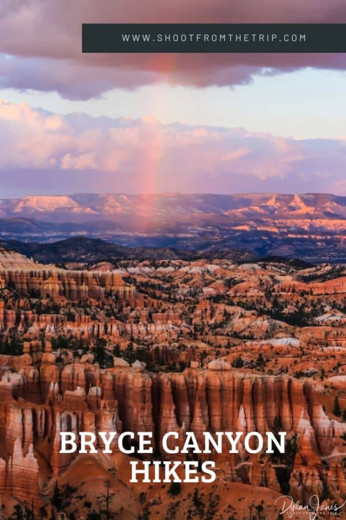
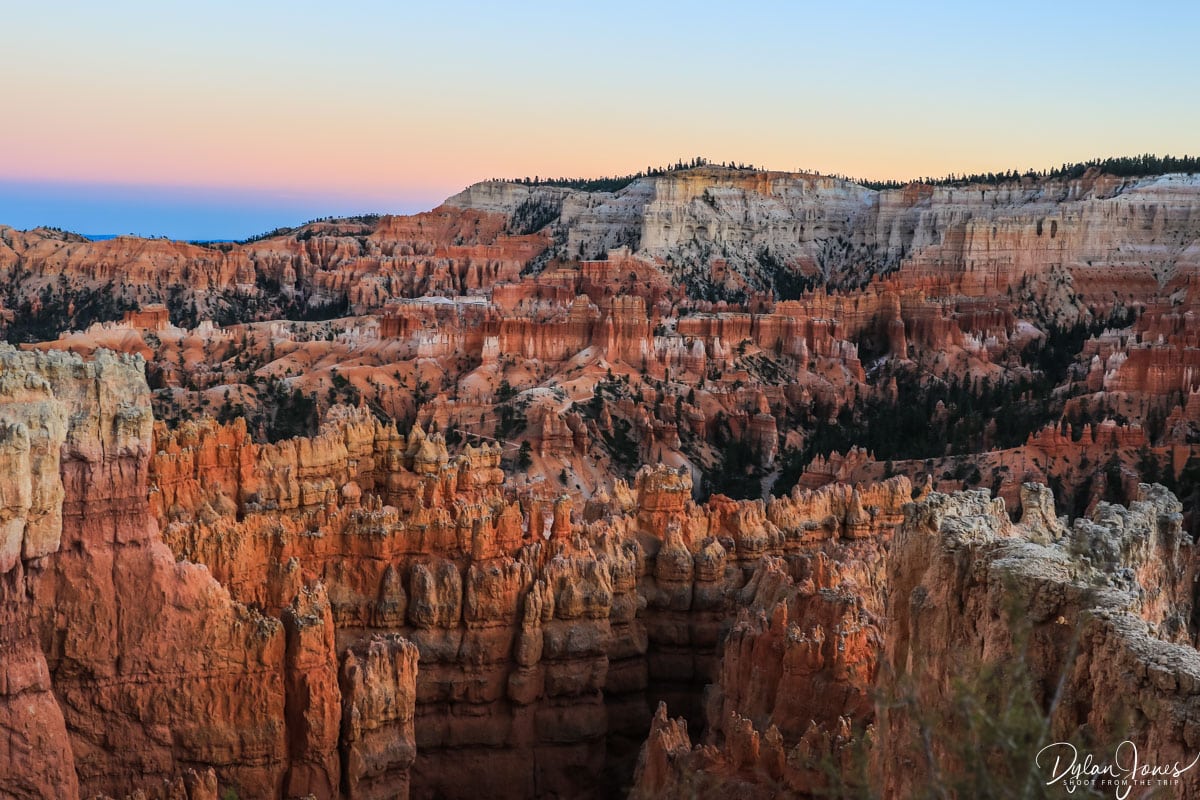
One of the more popular viewpoints and more of a short walk than a hike, SUNSET POINT is located on the rim of Bryce Canyon, with views facing northeast. With the sun setting behind the viewpoint, on a clear day the evening light cascades over the canyon’s hoodoos and rock formations, flooding the landscape in bright shades of orange and pink. Whilst we didn’t quite experience these views on our first evening, instead we were treated to storm clouds rolling in over the canyon, providing a rainbow scene and distant downpours, while the sunlight reflected on the horizon’s pink cliffs.

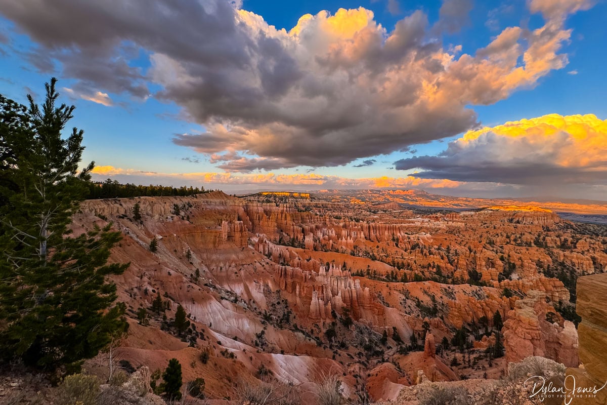
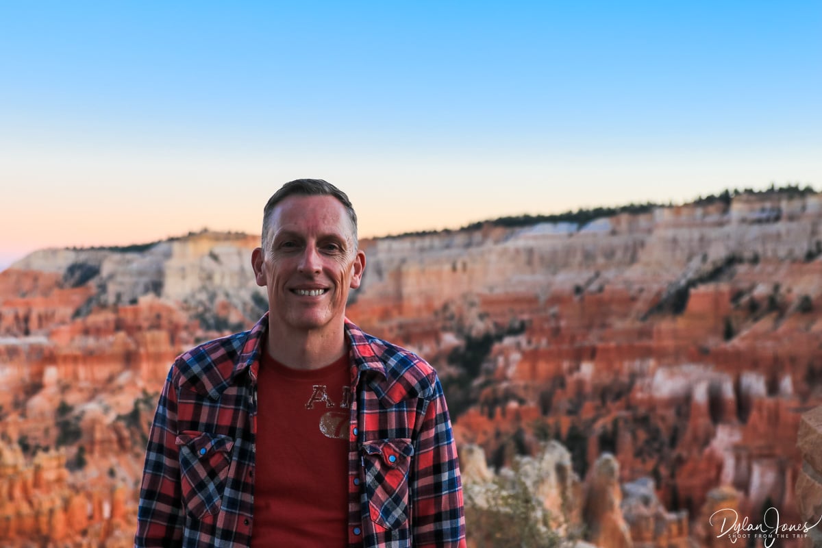
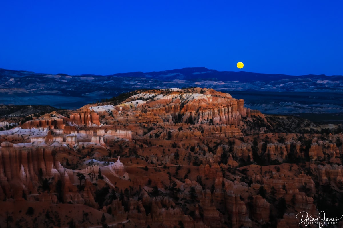
The second sunset of our stay offered clear skies which turned to shades of pastel blue, pink and orange as the sun dropped below the horizon, beautifully complementing the shades of the rocky terrain. As the light faded in the sky, the whites of the cliff faces shone brightly and the bright September moon rose from the west creating a truly magical scene.
SUNRISE POINT HIKE
STARTING POINT | SUNRISE POINT RD PARKING AREA
DISTANCE | 0.4 MILES ROUND TRIP
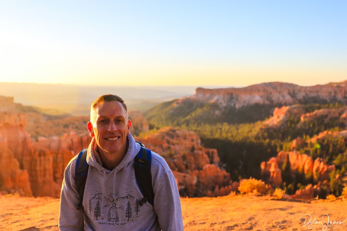
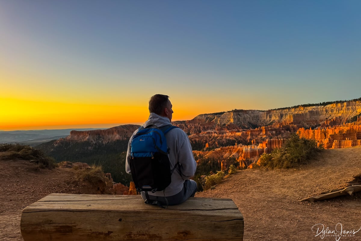
Thanks to Bryce Canyon being the first stop on our Southern Utah road trip, and having not adjusted to the time difference, we were up bright and early for sunrise. Another viewpoint with a short walk from the parking lot, or Bryce Canyon Lodge, we set out before 6am to capture the most incredible sunrises. SUNRISE POINT is located around 0.5 miles north of Sunset Point, along the Bryce Amphitheater Rim. Due to the high elevations, while the days are warm in September, the temperatures drop overnight so layered clothing is advisable for a sunrise Bryce Canyon hike.


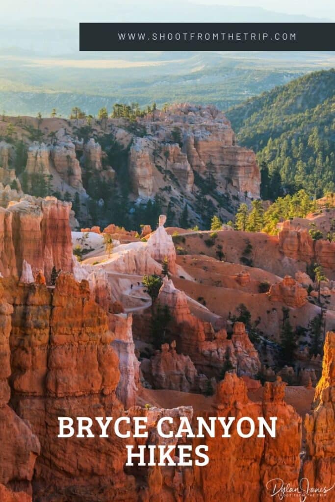
Considering the early hour, sunrise was a busy time at Bryce Canyon, and it would soon become apparent why. It was amazing to see Bryce Amphitheater in a different light, with people congregating along the rim to witness the sun rising above the distant mountains. The muted pink and white hues of the rocks and hoodoos still looked dramatic, waiting for the sun’s warmth to reach them. With everyone full of anticipation, the sun finally peeked over the horizon, illuminating the sky in stunning orange and yellow colours. The towering hoodoos created deep shadows across the canyon, while the previously muted shades of the amphitheater burst into vivid oranges and pinks. It was breathtaking.


BRYCE CANYON RIM TRAIL
STARTING POINT | BRYCE POINT / FAIRYLAND POINT
DISTANCE | UP TO 11 MILES ROUND TRIP
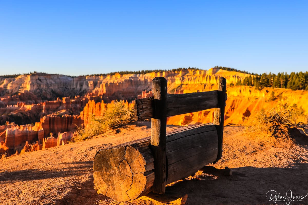
One of the most accessible and simple Bryce Canyon hikes to enjoy the scenery of Bryce Amphitheater is the RIM TRAIL section between Sunset Point and Sunrise Point. The Rim Trail totals 5.5 miles one way, spanning between Bryce Point in the south and Fairyland Point in the north, but the section between Sunrise and Sunset is the only fully paved section. If staying at Bryce Canyon Lodge, this section of the Rim Trail is also great for night sky views.


THE BEST MODERATE BRYCE CANYON HIKES
To enjoy the best of Bryce Canyon National Park’s incredible scenery, a hike down into Bryce Amphitheater is a must. The views from Bryce Canyon rim are epic, but the hiking trails that meander and wind through the hoodoos and rock formations of the canyon provide a completely different point of view. There are several Bryce Canyon hikes that be taken into the canyon, all involving significant elevation changes. During our stay, we took two separate hikes into Bryce Amphitheater.
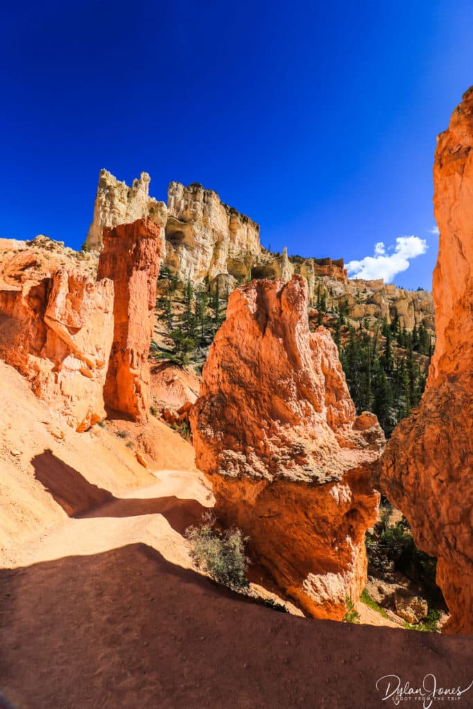

TOP TIP: Before heading down into the canyon, be sure to check out the weather forecast. During the monsoon season running between July and September, severe storms can pass through Bryce Canyon, bringing lighting and heavy rain. As with any low level hiking trails in Utah, there can be a high risk of flash flooding which can catch hikers by surprise. If there is any risk of storms or rainfall, carefully consider whether the hike is a sensible idea.
QUEENS GARDEN & NAVAJO COMBINATION LOOP
STARTING POINT | SUNRISE POINT
DISTANCE | 2.9 MILES
ASCENT | 625 FEET
One of the more popular Bryce Canyon hikes, the QUEENS GARDEN & NAVAJO COMBINATION LOOP hike heads down into Bryce Amphitheater, starting at Sunrise Point and ending at Sunset Point. From Sunrise Point, the Queens Garden Trail takes a gradual descent into the surreal landscapes of Queens Garden. This winding descent traverses through a number of switchback sections and through rock archways before reaching the canyon floor.


Surrounded by the formidable rock spires and hoodoos, the scale of Bryce Canyon becomes more apparent from the ground, looking up. A number of landmark viewpoints can be seen along the trail, including the Queen Victoria hoodoo – a rock formation with a shape resembling Queen Victoria.

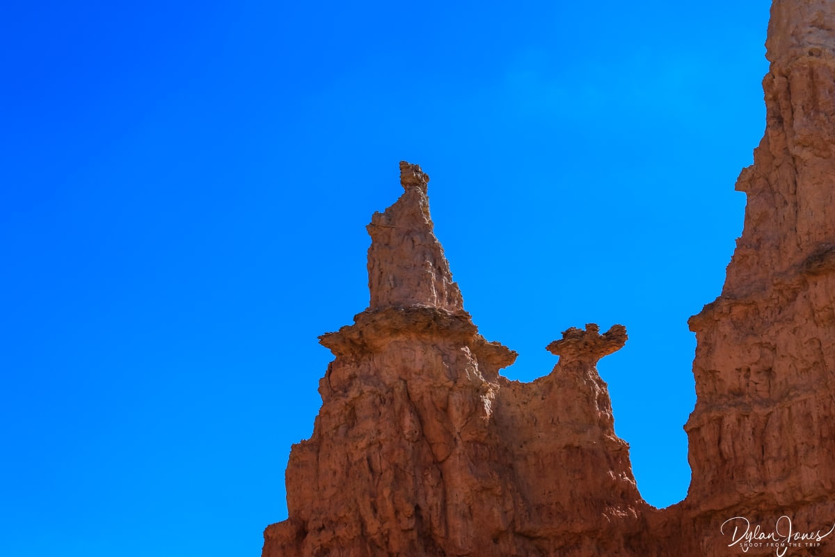
Further along, the Queens Garden Trail intersects with the Navajo Loop Trail, where there are a choice of two 600 foot ascents to Sunset Point – Wall Street and Two Bridges. These two routes feature a series of steep switchbacks surrounded by steep, tall canyon walls. Opting for the Two Bridges route, and passing by a number of tall Douglas Firs which looked dwarfed by the surrounding rock walls, the switchback section climbed quickly before levelling out and leading towards the Juliet Balcony viewpoint, which offered fabulous views across Bryce Canyon and another landmark hoodoo – Thor’s Hammer. From Juliet’s Balcony, the final stretch of the Navajo Loop Trail led back to Sunset Point and the Rim Trail.


NAVAJO & PEEKABOO COMBINATION LOOP
STARTING POINT | SUNSET POINT
DISTANCE | 4.9 MILES
ASCENT | 1475 FEET
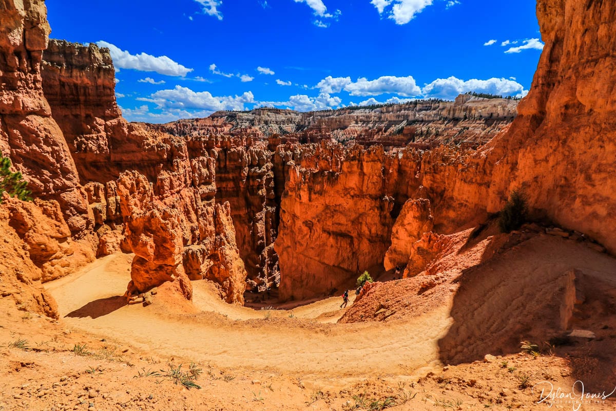
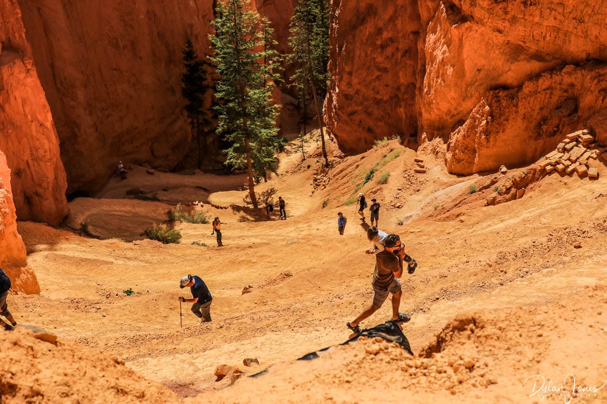
For a longer hike in Bryce Canyon, the NAVAJO & PEEKABOO COMBINATION LOOP is a fantastic option, and gives the opportunity to traverse one of Bryce Canyon’s most iconic landmarks – Wall Street. Starting, this time, at Sunset Point, and heading down towards Juliet’s Balcony, the Navajo Loop Trail leads into the Wall Street corridor. Similarly to Two Bridges, this zigzag series of steep switchbacks leads down into the canyon, surrounded by towering rock faces and hoodoos, descending around 650 feet.


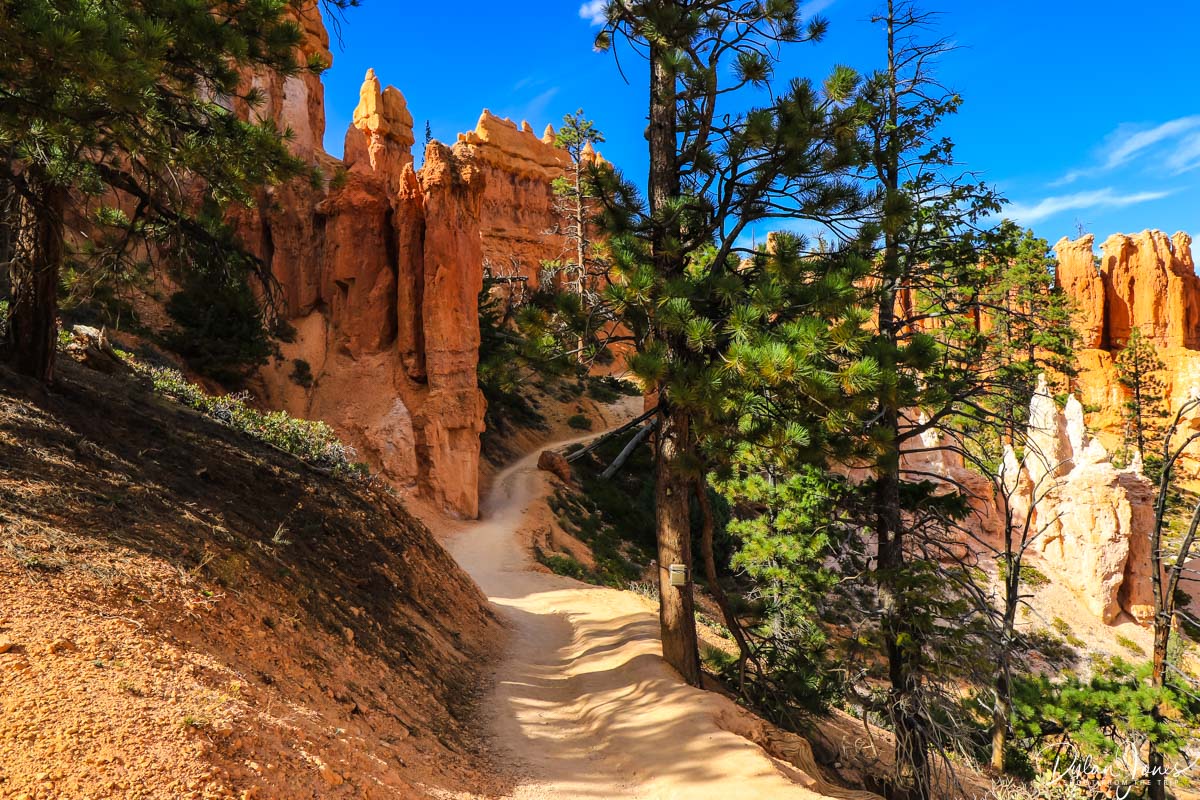
Reaching the canyon floor, the trail leads through a relatively narrow slot canyon featuring some towering trees, before opening out into Bryce Amphitheater, and continuing along to meet up with Queens Garden Trail intersection, and another route onto the Peekaboo Loop. Heading further south into Bryce Canyon towards Bryce Point the Peekaboo Loop is three miles in total, with a some elevation gains and descents along the way. Significantly quieter than Queens Garden and Navajo, the scenery is incredible, passing by formations such as The Cathedral and the impressive Wall of Windows. The halfway point of Peekaboo Loop also had a Vault Toilet in the vicinity, open in summer only.


Climbing a short switchback section, a tunnel leads through a cliff, opening up to an impressive viewpoint, before the descent back down to the canyon floor begins. Finishing the loop and joining back with the Navajo Loop, the final stretch involves tackling the upwards section of the imposing Wall Street climb. After a relatively tiring hike in the September warmth, the 650 foot ascent along the zigzags certainly seemed challenging, but arriving to the top allowed for time to rest, look back and admire this impressive geological wonder.



STAY IN THE HEART OF BRYCE CANYON AT BRYCE CANYON LODGE
While there are many lodging options a few miles north of the national park in Bryce Canyon City, my recommendation would be to spend a little extra money and stay at BRYCE CANYON LODGE located right in the heart of the National Park, a few steps away from the Bryce Amphitheater rim. The convenience of being able to hike directly from the cabin accommodations made it a worthwhile investment.
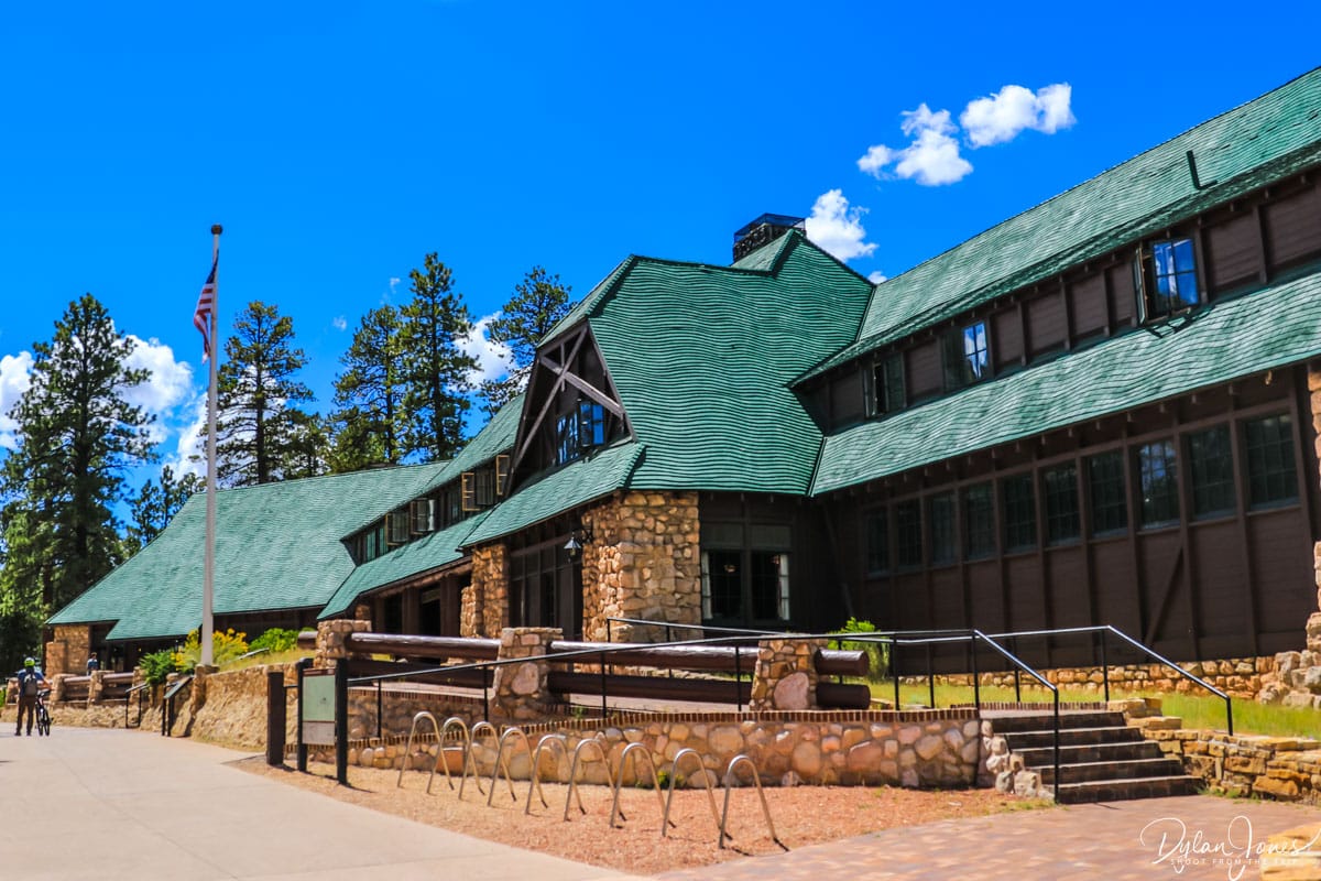
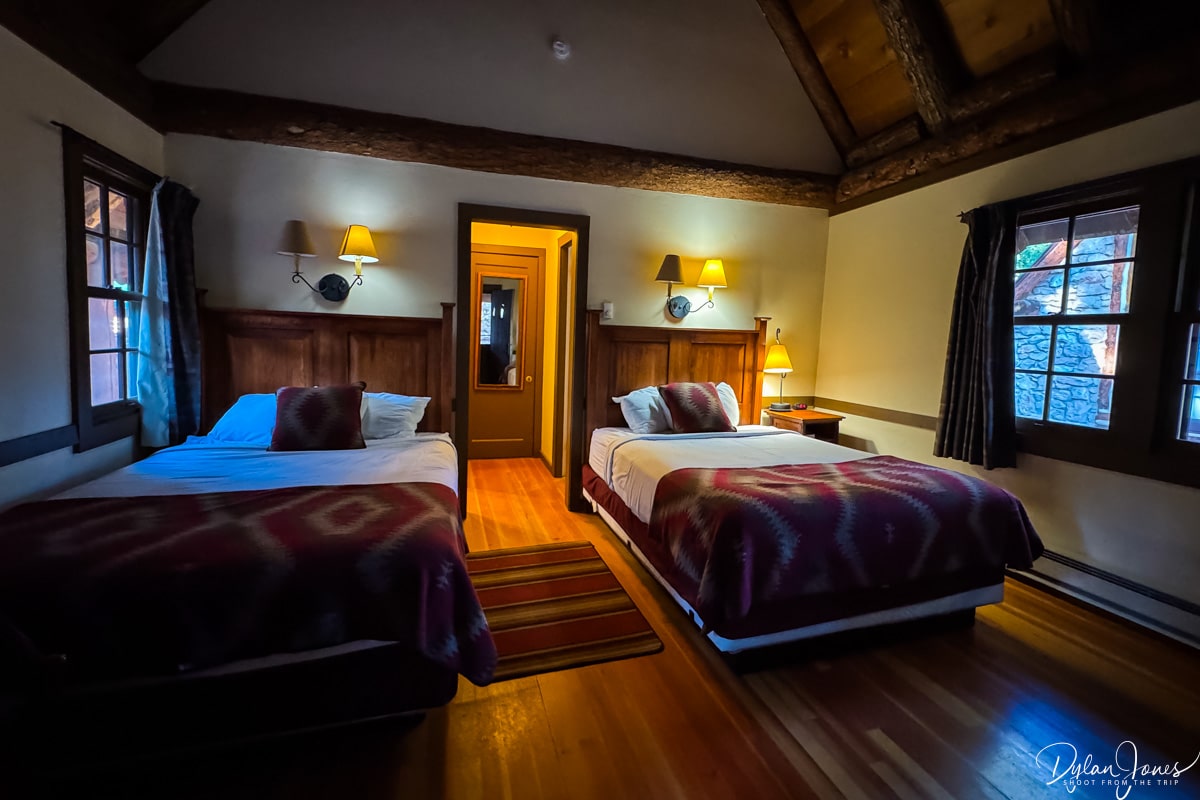
With a variety of accommodations on site, there are suites within the Main Lodge, standard rooms with the Sunset and Sunrise Motel buildings and a collection of Western Cabins situated in the woodland between the main lodge and the rim of Bryce Canyon. We opted for one of the rustic WESTERN CABINS for our stay, which was cozy and comfortable. The main room featured a tall vaulted ceiling with a fan, with two queen beds alongside a dining table and fireplace. To the rear of the cabin, there was a vanity and clothes storage area to one side, and full bathroom to the other. A porch outside, provided the perfect spot to relax and take in the beautiful surroundings.

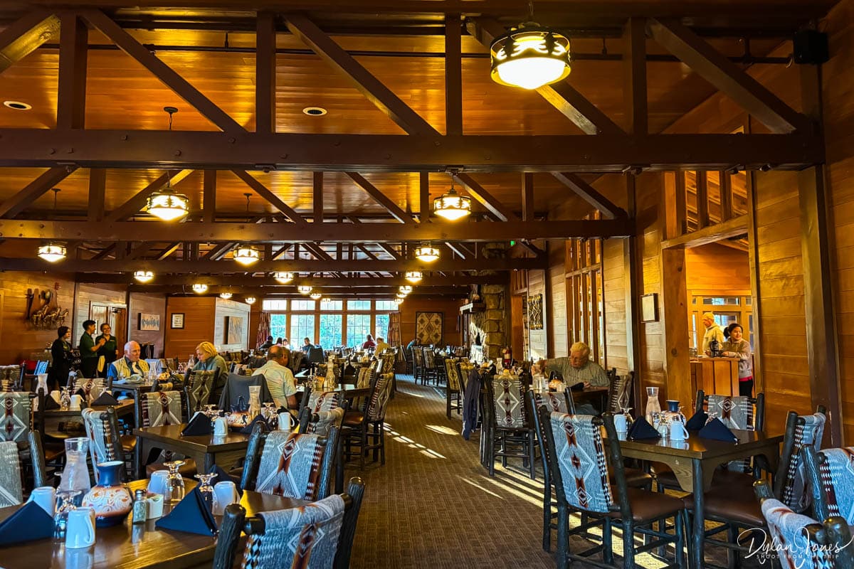
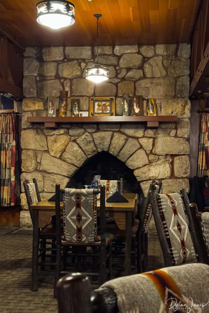
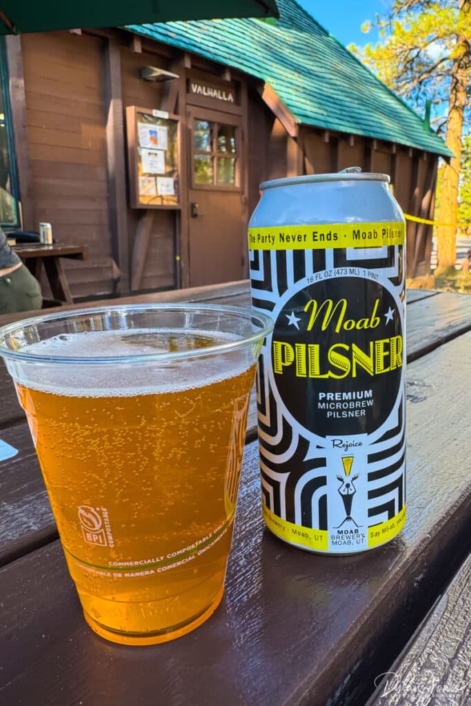
Within the main lodge building, the large lobby area led through to THE LODGE AT BRYCE CANYON RESTAURANT; a large dining room featuring a huge stone fireplace as a centrepiece. Serving breakfast, lunch and dinner, this 180-seat dining room was a beautiful spot to enjoy a meal before or after a day of hiking and exploring. A secondary dining option at Bryce Canyon Lodge was the VALHALLA PIZZERIA AND COFFEE SHOP. This casual spot was ideal to grab a morning coffee and pastry, a take-out sandwich for hiking, or a pizza and local craft beer out on the deck.

USEFUL INFORMATION ABOUT VISITING BRYCE CANYON
GETTING THERE | When travelling from overseas, Las Vegas is the best airport to fly to when exploring Southern Utah. Flying from the UK, our airline of choice was VIRGIN ATLANTIC, who offer direct flights from Manchester and London to Las Vegas. As our Bryce Canyon trip was part of a wider Southern Utah road trip, we opted for a JEEP COMPASS TRAILHAWK. This excellent SUV had great off-road capabilities and was really comfortable for long journeys. Our vehicle was booked through SIXT at the Las Vegas Car Rental Center – a few minutes’ shuttle bus journey from the airport terminals. While you wouldn’t need a high clearance vehicle to visit Bryce Canyon, it’s definitely worthwhile if exploring more of Utah.
The journey from Las Vegas to Bryce Canyon takes 4 hours and 15 minutes, with the majority of the trip taken on Interstate-15 before exiting at Cedar City and heading east. The final section of the route towards Bryce Canyon City heads along Scenic Byway 12, one of the most beautiful sections of road in the US. Passing through the archways of Red Canyon and watching the landscapes change really sets the scene for an incredible Bryce Canyon visit.

PARK ENTRANCE TICKETS | The National Park Service has seen a significant shake-up in fees in 2026, with a high surcharge included for non-US residents in the 11 most popular parks, which includes Bryce Canyon. A standard entrance pass for a private vehicle costs $35.00, covering the vehicle and passengers, but there is an additional $100.00 per person fee for non-US residents. When visiting a number of national parks on a road trip, the best option is to purchase an AMERICA THE BEAUTIFUL NATIONAL PARK PASS. At $80 per vehicle for US residents, this annual pass provides access to all the major national parks, which will provide a significant saving over paying per park. The fee for non-US residents is now $250.00 per vehicle, and while expensive, it works out to be relatively cost effective when visiting multiple parks. The passes can be picked up at the entrance station to the first National Park you visit.
RELATED CONTENT
EXPLORE CALIFORNIA’S INLAND DESERTS. SEE THE BEST PLACES TO VISIT IN CALIFORNIA’S EASTERN SIERRA
LOVE THE WILDERNESS? THE BEST HIKES, SCENERY AND ACCOMMODATION IN SEQUOIA NATIONAL PARK
EXPERIENCE JAW DROPPING LANDSCAPES ON A YOSEMITE 3 DAY ITINERARY
SOCIALS
If you enjoyed this article about the fabulous North Wales activities to get the adrenaline pumping and found it useful, please leave a comment in the box below or Pin one of the images below to PINTEREST.
For regular photo updates on my travels, follow my account on INSTAGRAM and TIKTOK.
Scroll down (on mobile) to subscribe and get new post alerts directly to your inbox. If you’re on desktop, head to the right hand sidebar and pop in your email address.