

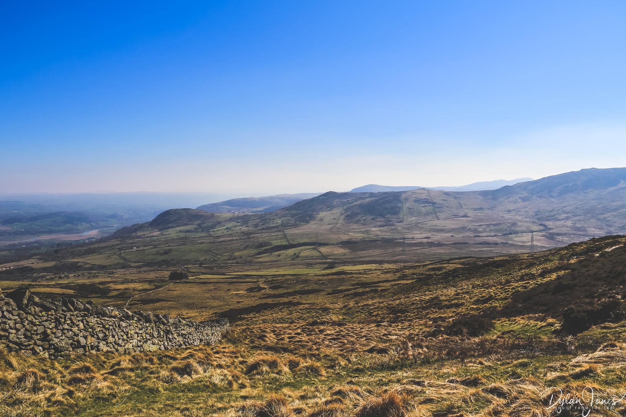
The summer boom of tourists in North Wales has been present for many years, thanks to to the spectacular coastline and stunning Snowdonia National Park. This has become far more evident since the Covid-19 pandemic with more people exploring the UK nations, rather than travelling abroad. Whilst this has bought a much welcome tourism boost to the local economy, it also brings the challenges of over crowding in the more popular spots. Recently, I travelled through the heart of the Snowdonia National Park on a weekday, during school term, and found that all car parks in the popular hiking spots were full. More people are coming to visit, and North Wales has been recently highlighted as the most popular destination for ‘staycations’ in the UK. This means searching out the quieter spots, and I’ve put together some easy North Wales hikes in the northern Carneddau Mountains, to escape the crowds.
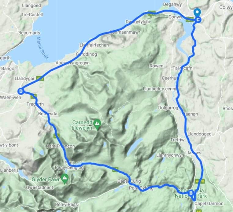
Where are the Carneddau Mountains?
The Carneddau Mountain range is in Northern Snowdonia. As a very rough guide, the mountain range is captured within the boundary of three trunk roads – the coastal A55 between Conwy and Bangor, the A5 from Bangor to Betws-y-Coed and the A470 from Betws-y-Coed back to Conwy. There are 19 peaks over 600m in height within the range, the taller and more well known of these are to the southern end of the range.
These larger peaks, such as Carnedd Llewelyn and Pen yr Ole Wen are popular for experienced hikers. Heading further north in the Carneddau, the peaks may be smaller but they are still dramatic, offering some fantastic walking routes more suited to those of us who are not super fit hikers. The area is remote and wild, but as long as your prepared to drive along very narrow mountain roads, there are some fantastic walks with scenery that will take your breath away.
Easy hikes in the Carneddau Mountains
So, what’s the definition of an easy hike? Personally, I’m a bit of a fair weather hiker and not really into long hikes with steep climbs, or too much scrambling. A three or four hour round trip hike is more than enough for me. Thankfully there are plenty of locations in the Northern Carneddau offering a variety of hikes where you can take in the epic views of Wales. These include mountain lakes, coastal views and the remote and beautiful wilderness of the area. All the hikes mentioned can be accessed from the B5106 road which runs between Conwy to Llanrwst, making them accessible from a number of destinations in the area.
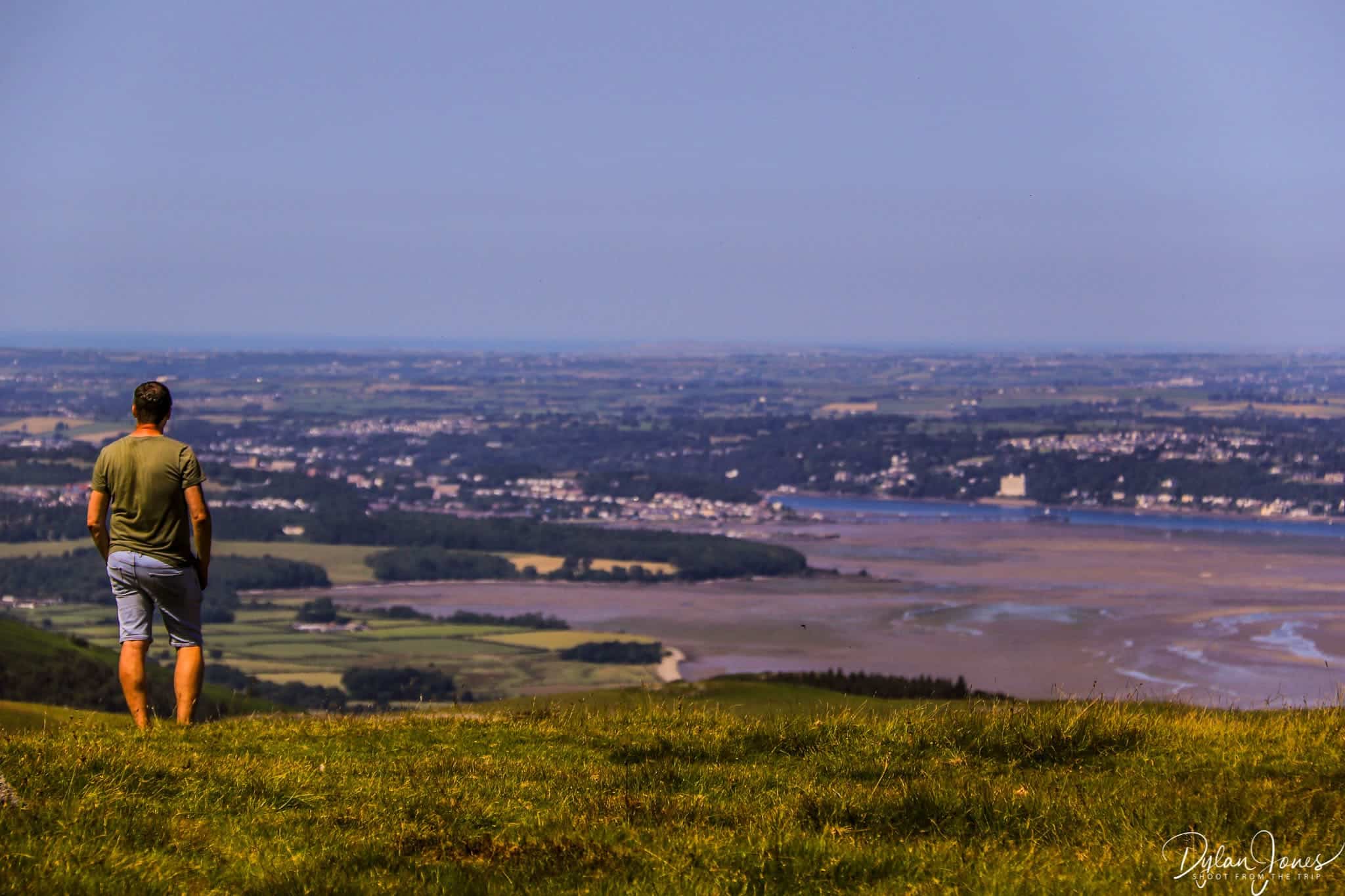
1. Head to the summit of Tal y Fan for 360° views
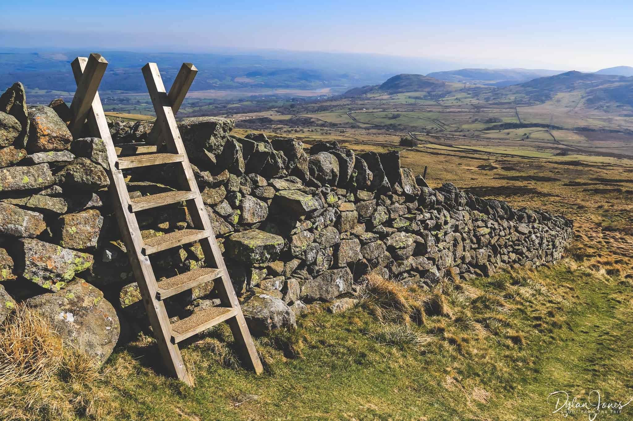
Tal y Fan is the northernmost mountain in Wales, and categorically one of the smallest at 610m in elevation. There are several routes to the summit, including longer hikes from the Conwy Valley village of Rowen, or from Llanfairfechan and Aber on the coastal side of the range. The shortest route is from the small car park at Bwlch y Ddeufaen high in the hills.
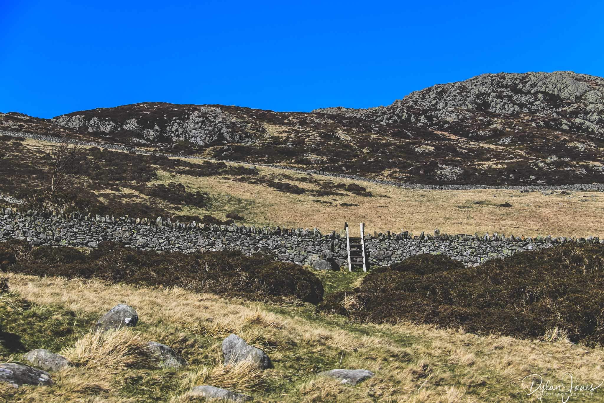
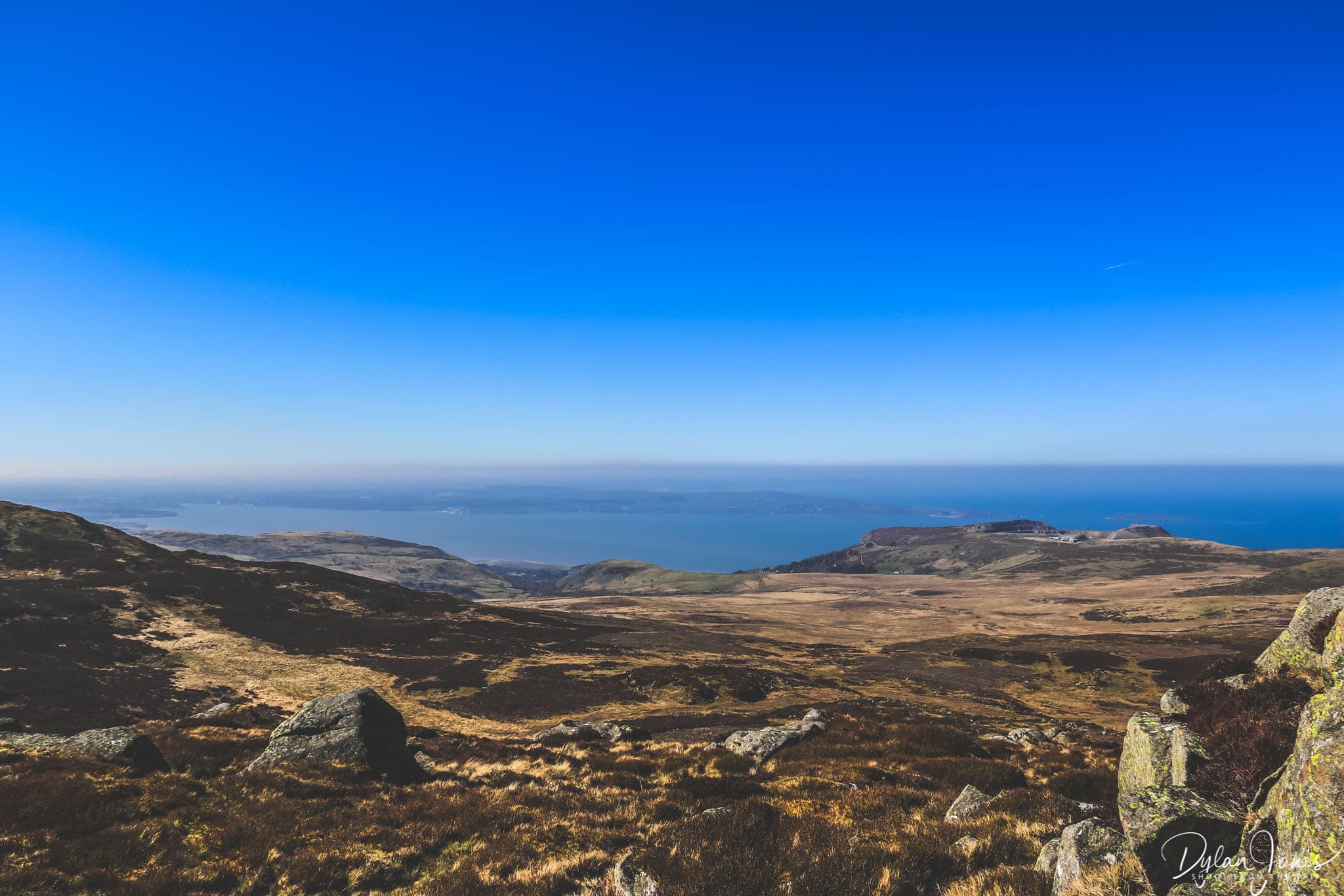
From the car park, heading back along the road, a walk of approximately a mile leads to a stile on the left hand side into the fields, which begins an uphill climb to the summit. There is a defined public footpath through the fields which is easy to follow. The first two fields are a fairly consistent climb, but there is always time to take a break and admire the scenery around you. Crossing into the third field, a further uphill climb leads to a stile where the landscape levels out into a large area of heathland, which in summer is a sea of purple. From this vantage point, there are superb views across to the coastline of North Wales.
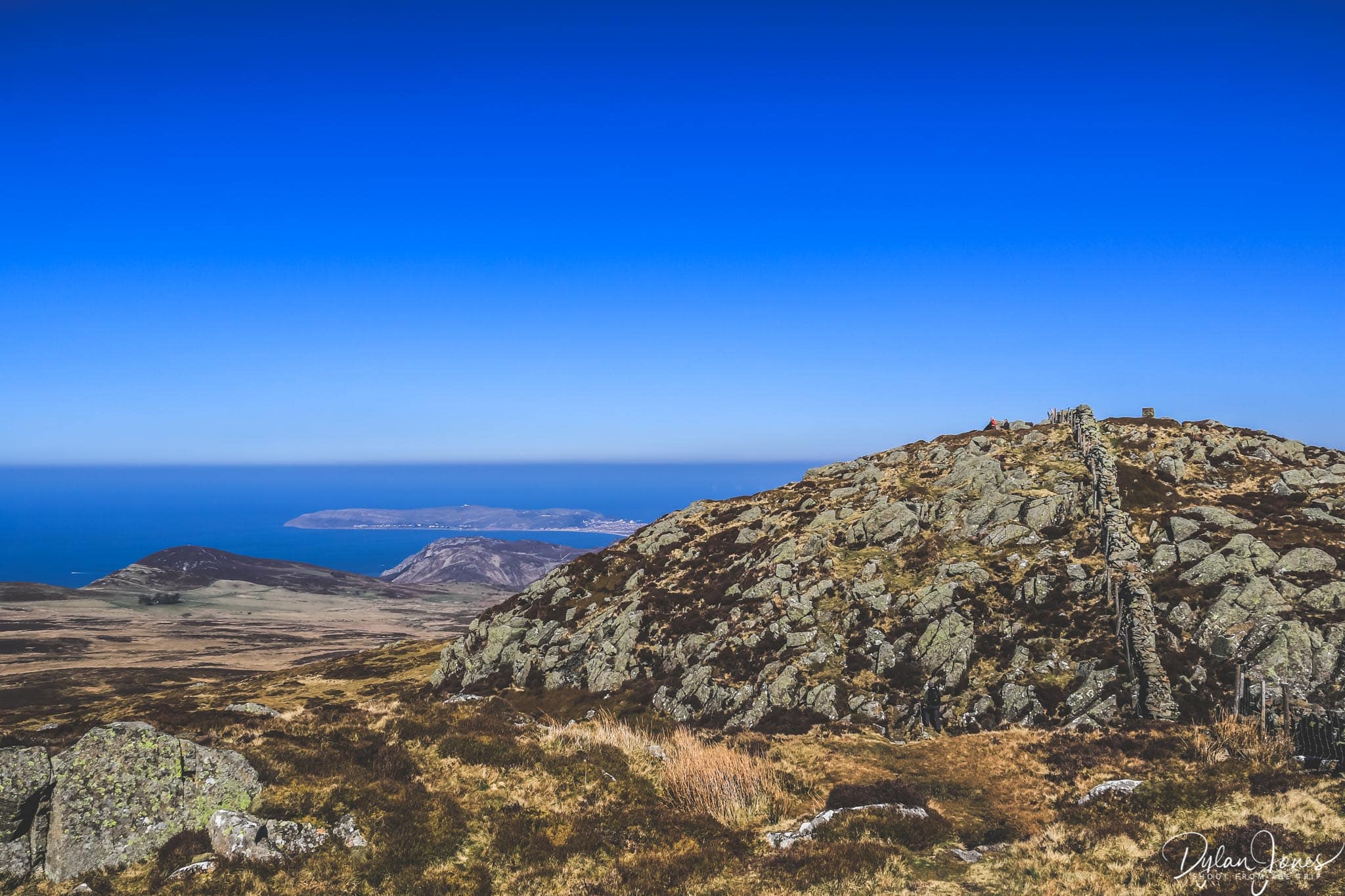
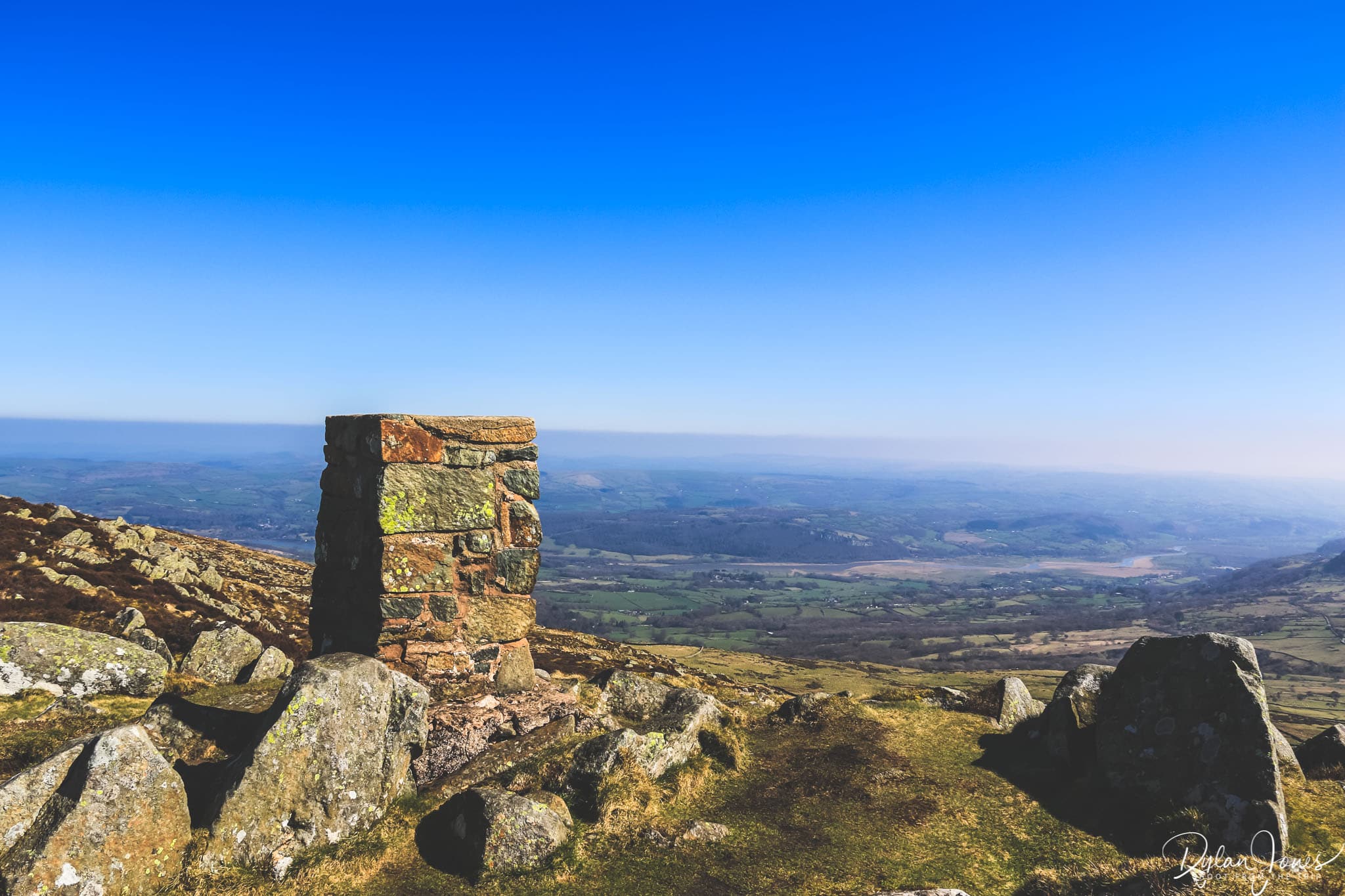
The final stretch to the summit and trig point involves a bit of a scramble. Heading to the right (from the stile) and following the path and stone wall, there is a rocky outcrop to climb. It’s not steep or particularly high, but may be tricky for some. The top of this outcrop isn’t the summit, but instead there is a dip into a small valley, before another small climb. At this point, the trig point is visible ahead in the adjacent field. There’s a final stile to climb to arrive at the trig point, where you can rest, recharge and take in spectacular 360° views of the coast, the Conwy Valley and the Carneddau.
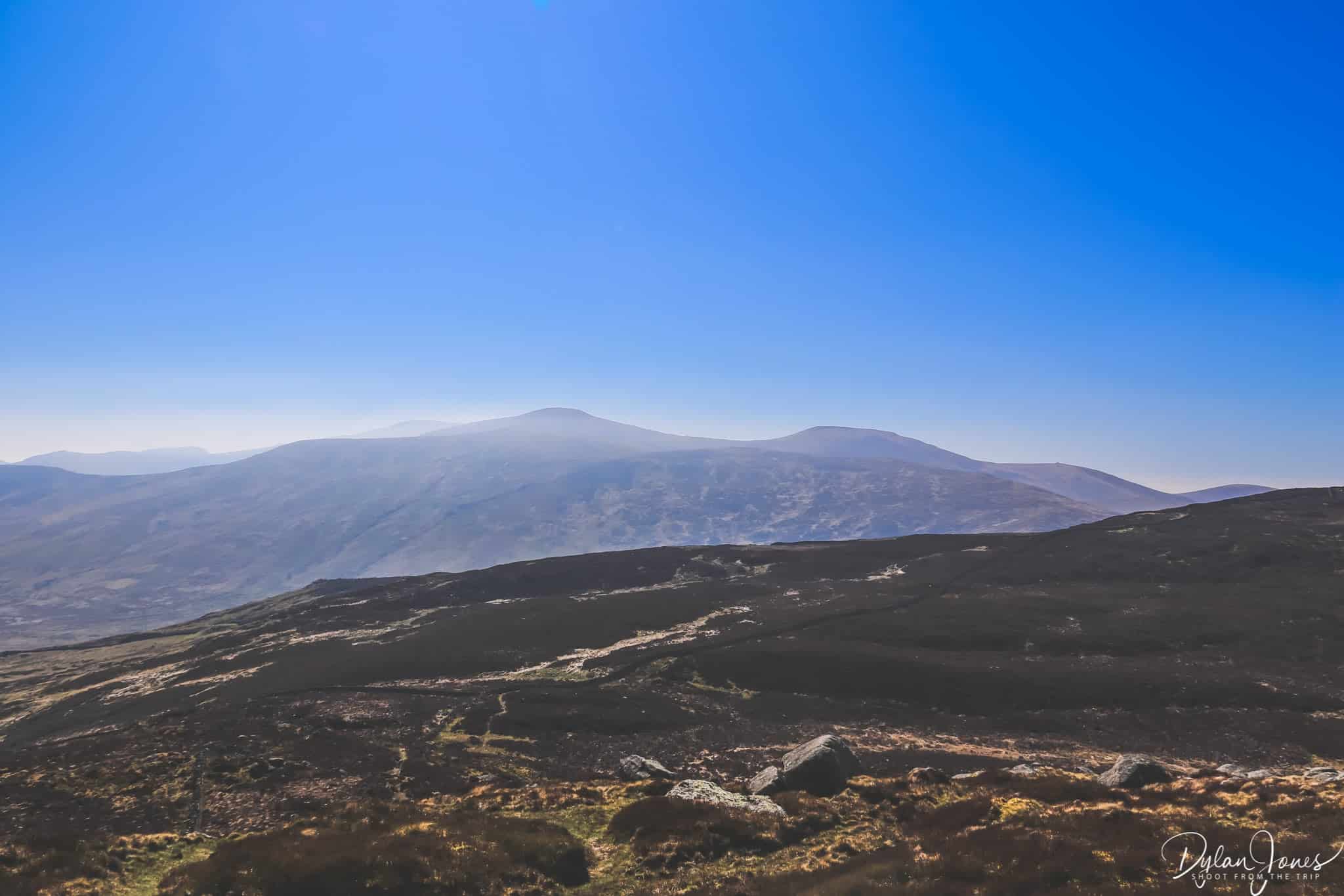
Starting Point Grid Reference: SH720715
Getting there: From the B5106 at Tal-y-Bont, take the turning next to The Bedol pub signposted Llanbedr-y-Cennin. Bwlch-y-Ddeufaen car park is four miles from here, along a narrow and mostly single track road with some passing points. The car park is at the end of the paved road, so can’t be missed.
Distance / Time Allowed: The return hike to the summit of Tal y Fan from Bwlch y Ddeufaen is approximately four miles. Allow a minimum of two hours to get there and back, or more time to explore some of the other footpaths on the mountain.

2. Take a circular walk around Llyn Crafnant

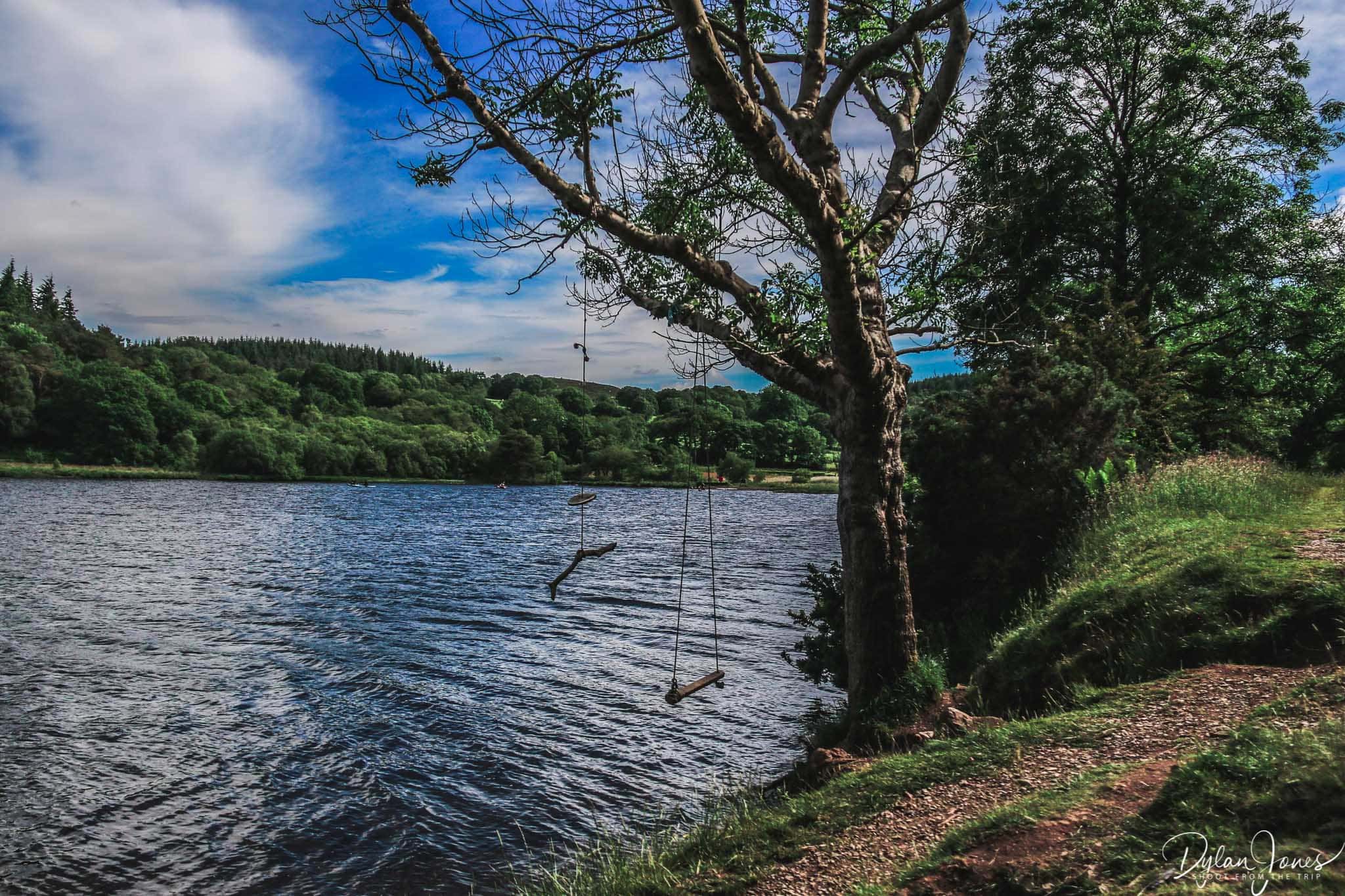
High above the village of Trefriw in the Conwy Valley, Llyn Crafnant is located in a beautiful valley flanked by the tall trees of Gwydir Forest to one side and the lower slopes of the Carneddau to the other. The Lake (Lake is Llyn in Welsh) is just under a mile long and provides a stunning walking location that’s suitable for the whole family. The winding road from Trefriw, which heads through some magical woodland scenery, leads to a large car park (with accessible toilet facilities) a short walk from the lake. From the car park, there are several walking routes that can be taken by following the coloured markers. The yellow route follows a circular path around the lake.

A short hill from the car park follows the River Crafnant’s route up to the lake, where a stunning scene awaits when the lake appears into view. The northern shore of lake, looking south, provides a beautiful mountain backdrop. From this point, heading clockwise, the yellow route heads into the woodland and a wide forest road follows the western side of the lake. The circular path extends way beyond the perimeter of the lake, heading into the woodland on the southern edge, but not before providing some fantastic mountain views.

Following the woodland pathway, which leads through a number of gates and past some old stone cottages, the route finally joins the paved roads that leads alongside the eastern shore of the lake. Heading north from here provides some fantastic views back towards Llyn Crafant, nestled into the steep sided valley. It really is a beautiful setting from all angles. The paved road eventually reaches the edges of lake before leading back to the starting point. and a lakeside monument which was erected in 1896.
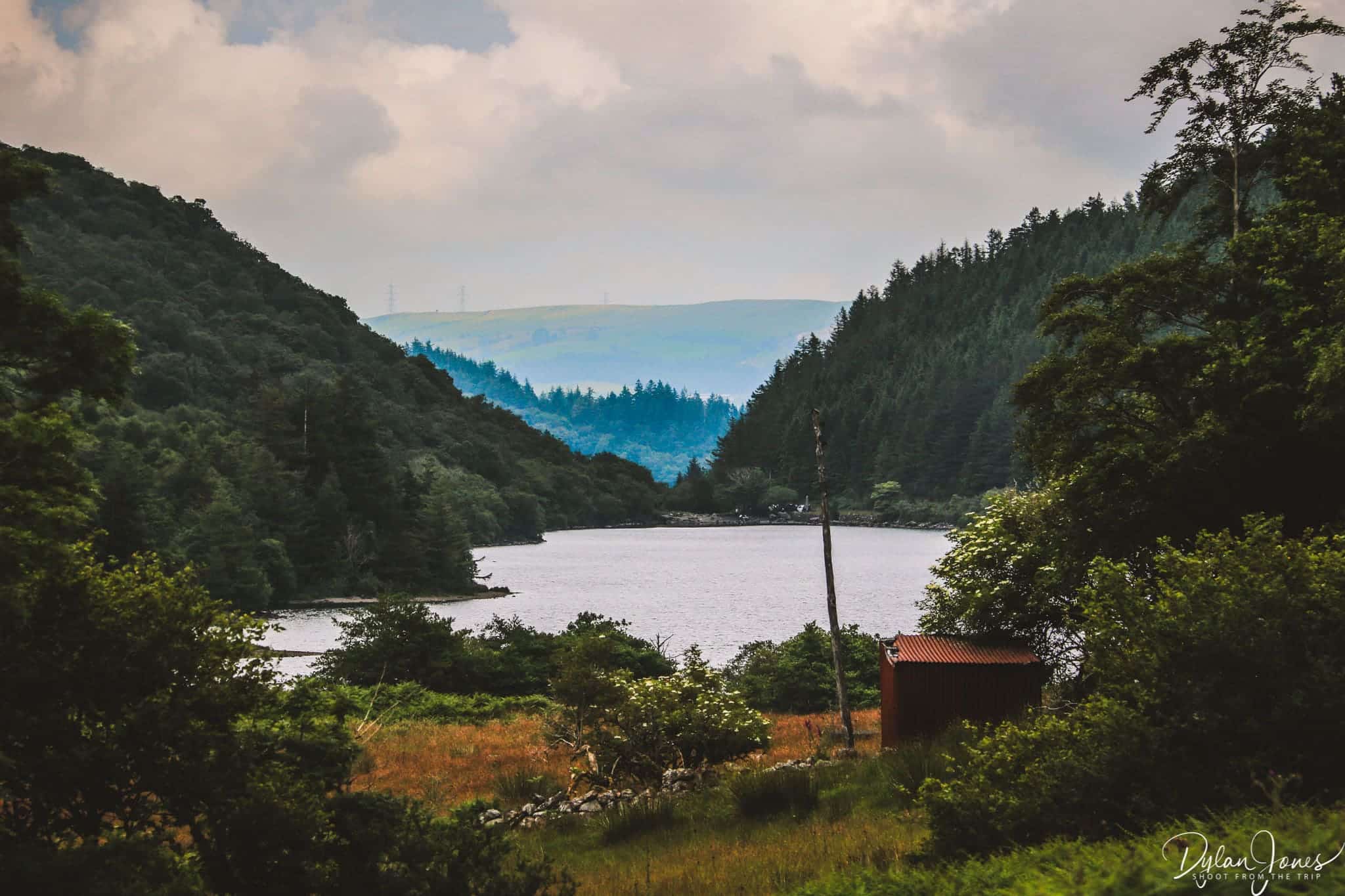
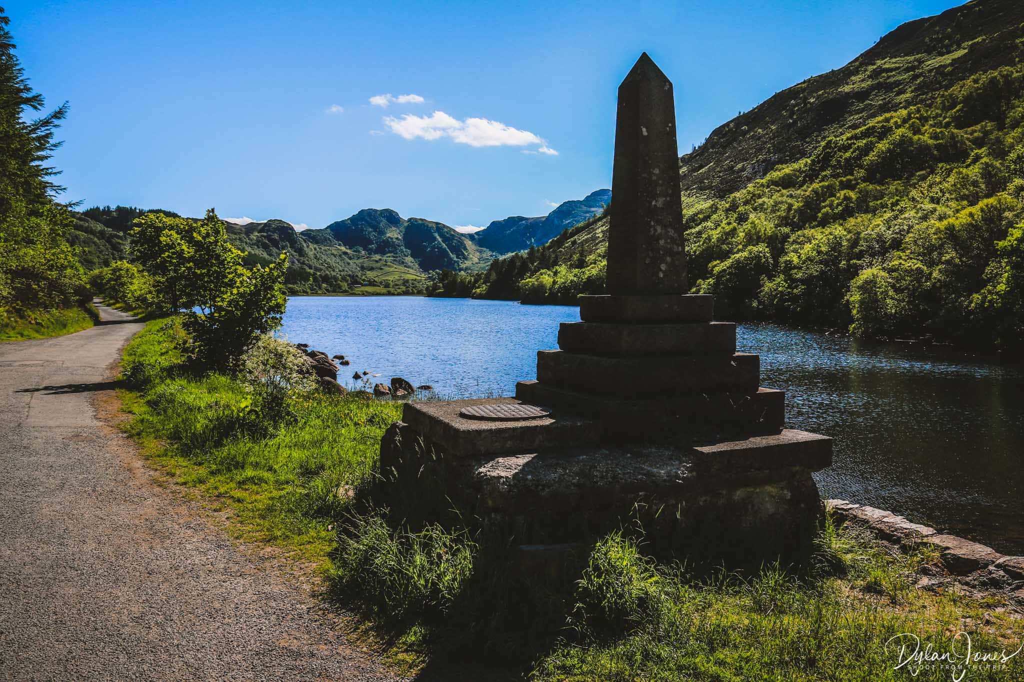
Starting Point Grid Reference: SH756618
How to get there: Heading into the village of Trefriw from Conwy on the B5106, there’s a right turn opposite the Fairy Falls pub which leads up a very steep hill. The narrow single track route which leads up to Llyn Crafnant from here is approximately two miles, and there are a number of passing points. The lake car park can get fairly busy during the holiday seasons and at weekends, so be prepared to meet some cars along the way.
Distance / Time Allowed: The circular route around Llyn Crafnant is three miles. Allow about two hours for the walk at a relaxed pace, which will allow enough time to stop for some great photos.
Extend the walk to the nearby Llyn Geirionydd
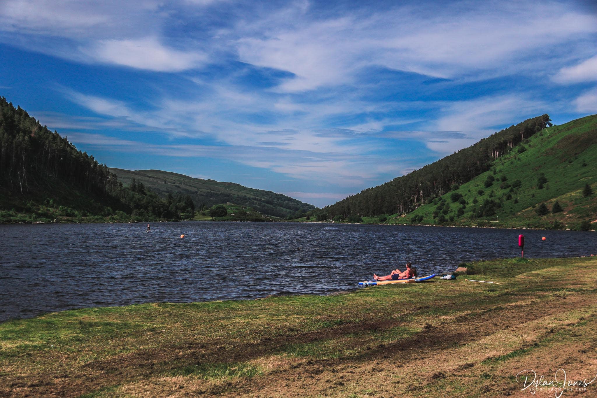
For an extended and more challenging route, the Llyn Crafnant to Llyn Geirionydd trail can be taken by following the blue markers. This route takes in the eastern side of Llyn Crafnant, and heads into the steep forest following a circular trail with a mix of tarmac roads, woodland trails and forest roads. Once at Llyn Geirionydd, the trail leads around the south shore of the lake towards the main car park where there are a number of picnic tables and accessible WC’s. Llyn Geirionydd is popular for water sports including kayaks to SUPs, and also popular for wild swimming.
3. Walk the old Roman Road from Bwlch y Ddeufaen
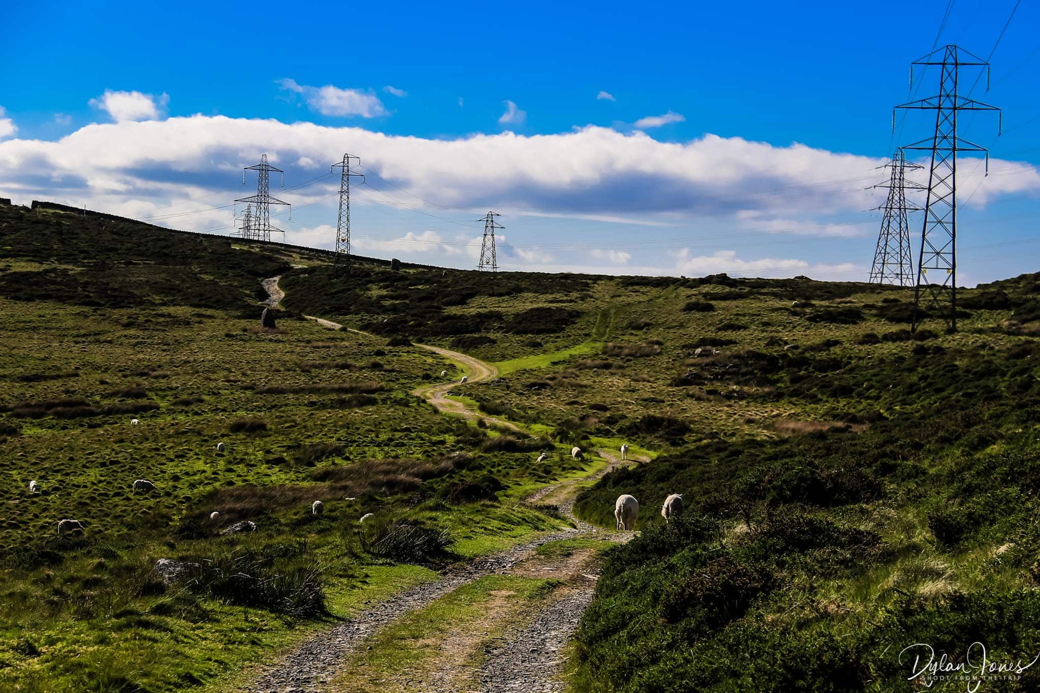
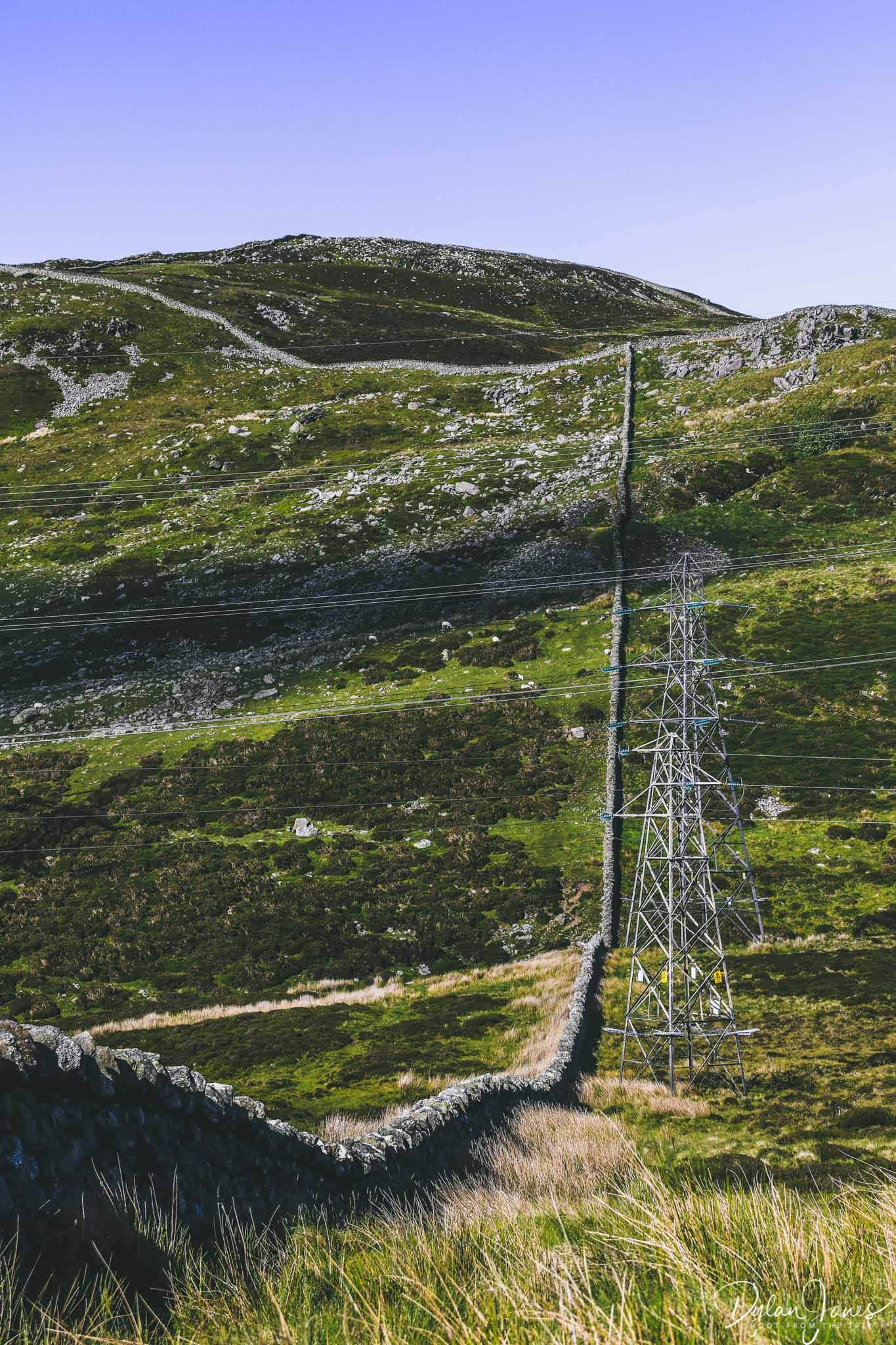
If a hike to the summit of Tal y Fan (or any other summit) doesn’t appeal, there’s another great option from Bwlch y Ddeufaen car park. The ancient Roman Road from the Conwy Valley to Caernarfon still remains to this day. Some sections of the road are paved and passable by car, but other sections of the road are suitable only for walkers, horse riders and mountain bikers.
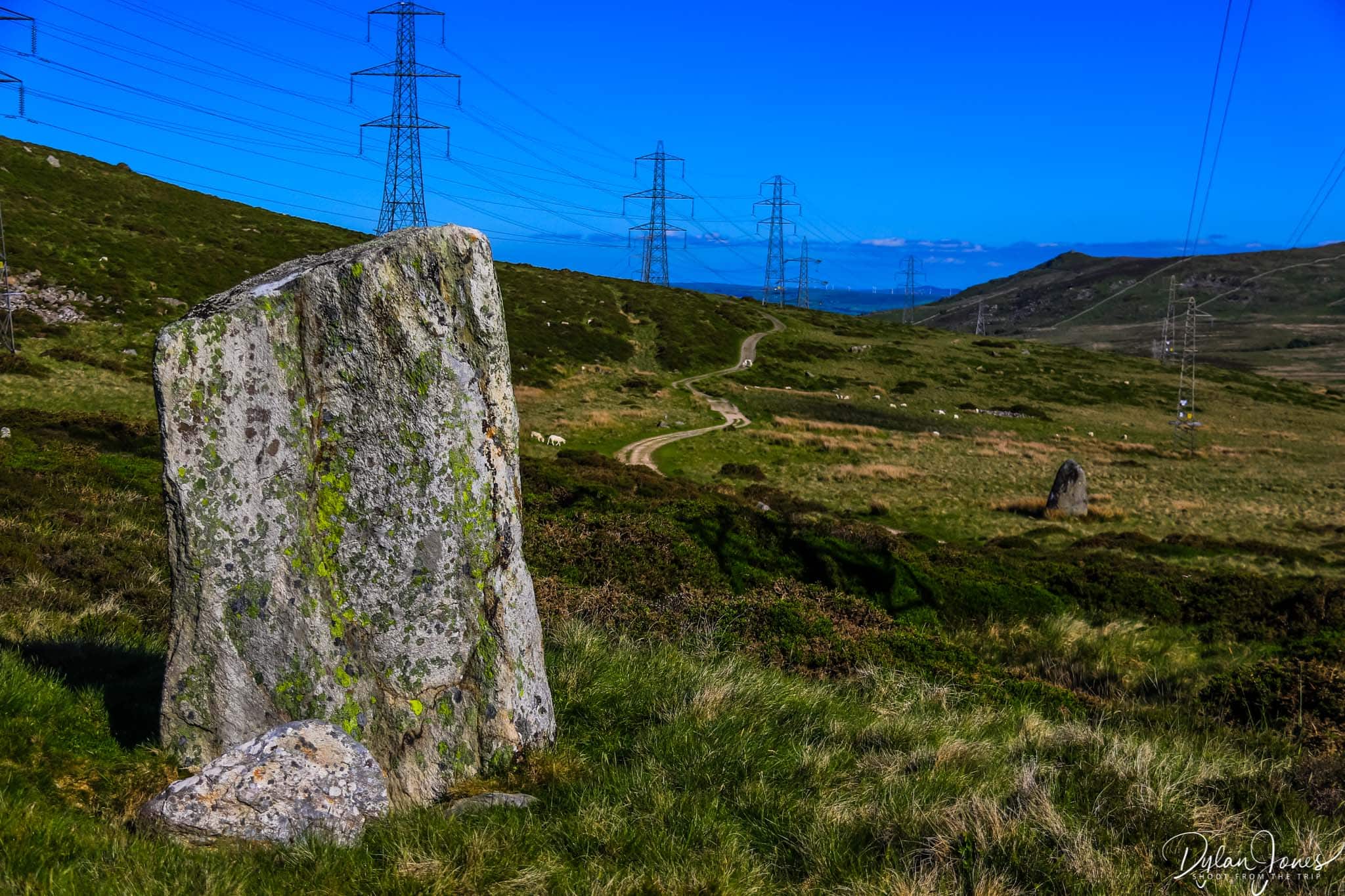
The car park is the starting point for the footpath of the Carneddau Roman Road which leads from the Conwy Valley, across the mountain pass before dropping down into the coastal villages of Abergwyngregyn or Llanfairfechan. The first two miles or so is relatively easy to traverse, with some inclines, but no particularly steep sections. From the car park, heading across the stile, the road undulates through the wild landscape before making a short climb and levelling out. Bwlch y Ddeufaen, translated to Welsh, means ‘Pass of the Two Stones’, and heading along the first section of the Roman Road, two large standing stones can be seen either side of the footpath.

Passing through a gate at the high point, the North Wales coast becomes visible with fantastic views of Anglesey and Puffin Island across the Menai Strait. Carrying along the footpath at this stage, we were lucky to come across a family of wild Carneddau Ponies. There are thought to be around 300 wild ponies that roam the Carneddau Range and it’s a fairly regular occurrence to see them if exploring the surrounding area. They are a beautiful breed and are not particularly spooked by nearby humans, although it’s best to leave them be rather than try and get too close.
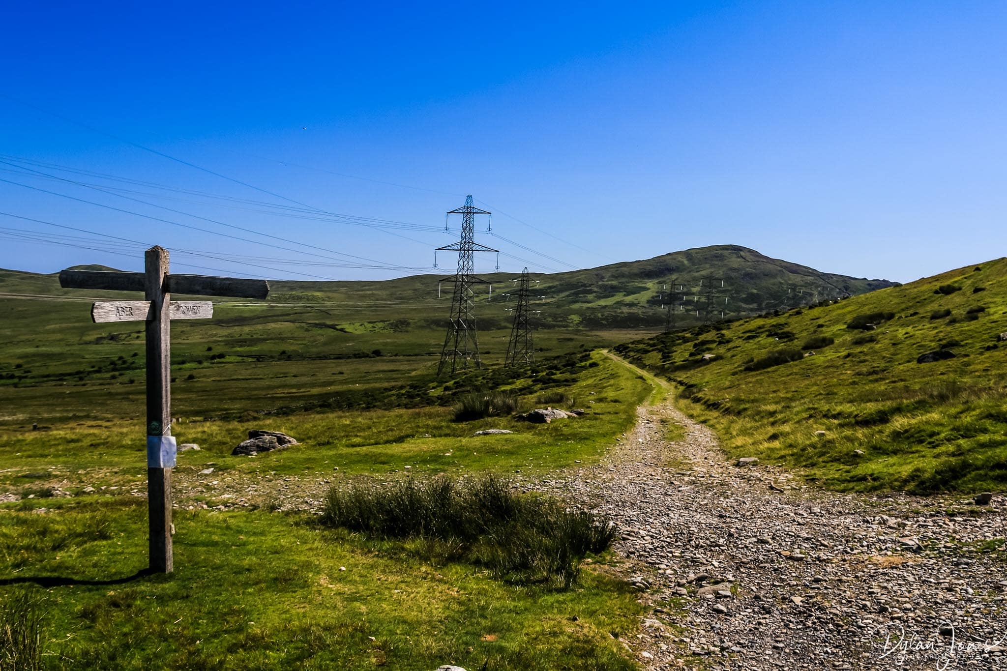
Following the Roman Road for another mile or so, along a gradual downhill section, a crossroads appears with pathways leading to the summit of Drum (pronounced Drim), to Aber and to Llanfairfechan. The footpaths to Aber and Llanfairfechan drop fairly steeply at this point, so if the intention is to carry on to either of those destinations, remember the steep climb to get back to the car.
WHY NOT EXTEND THE WALK AND HEAD TO ABER FALLS?
Starting Point Grid Reference: SH720715
Getting there: From the B5106 at Tal-y-Bont, take the turning next to The Bedol pub signposted Llanbedr-y-Cennin. Bwlch-y-Ddeufan car park is four miles from here, along a narrow and mostly single track road with some passing points. The car park is at the end of the paved road, so can’t be missed.
Distance / Time Allowed: The distance from the car park to the crossroads point is two miles, so a four mile round trip. Allow three hours for a slow stroll to take in and enjoy the scenery.
4. Take in spectacular Conwy Valley views from Pen-y-Gaer
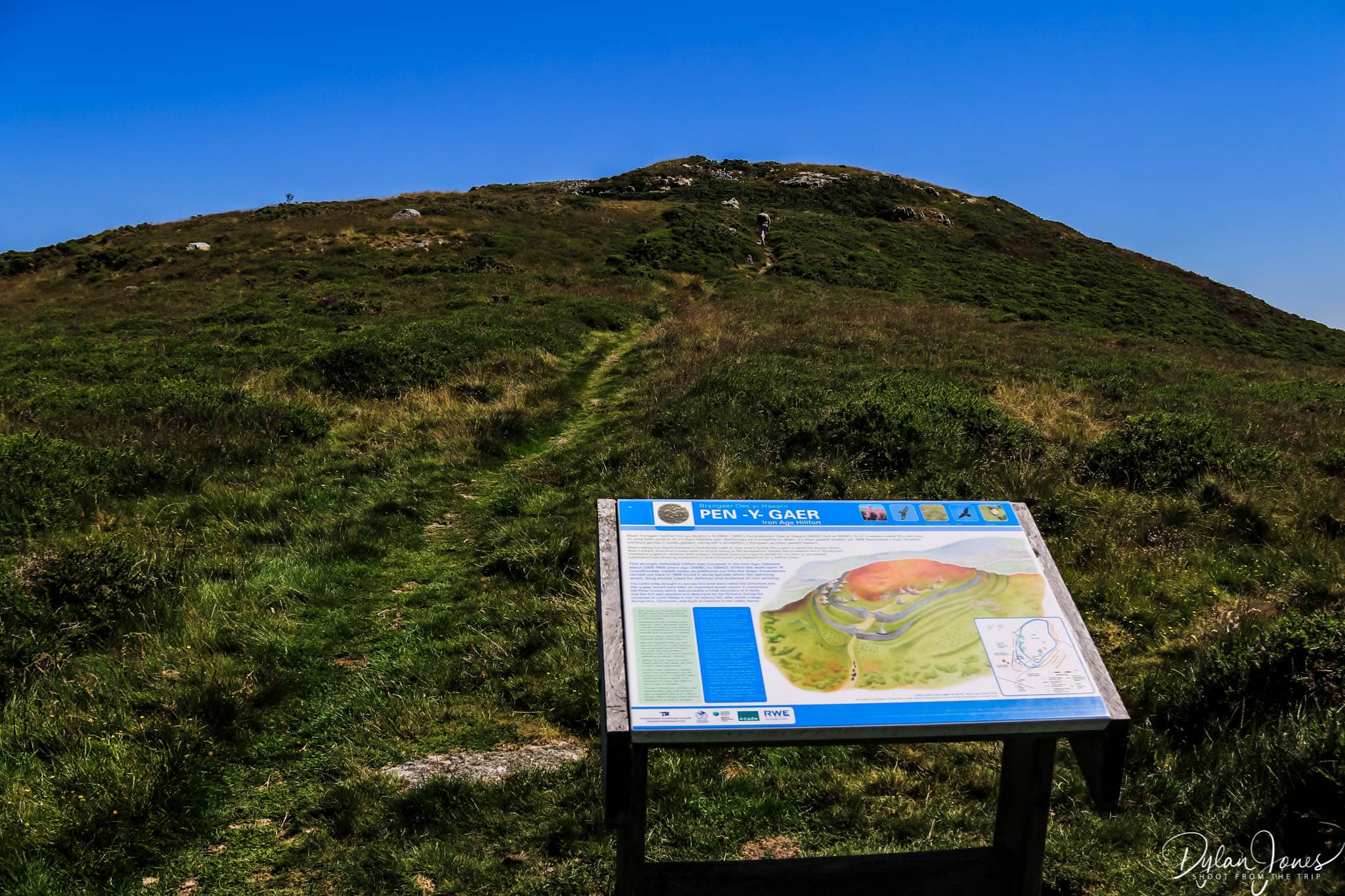
The shortest of all the hikes mentioned, the summit walk to Pen-y-Gear is a relatively simple walk from a car parking area right next to the start of the trail. One of the smallest peaks of the Carneddau Range at 385 metres, the rounded hillfort dates back to the Iron Age and remnants of the fort still remain.
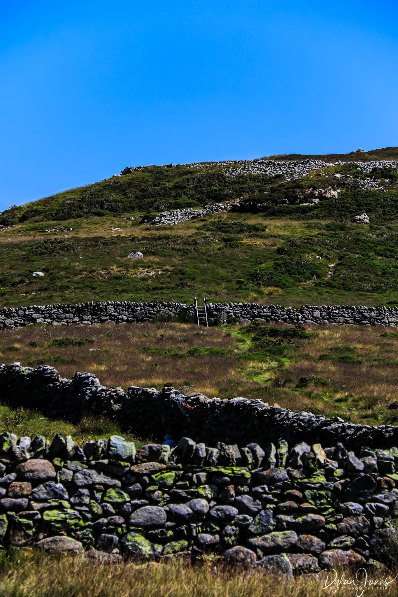
From the parking area which is located between Pen-y-Gaer and the adjacent pointed peak of Penygadair, continue along the road for a short while until reaching a stile and public footpath sign to the left. The footpath leads through a relatively flat meadow offering great views of the larger peaks of the Carneddau Range to the right. Passing over another stile, the hill steepens and there is a short climb toward the summit.

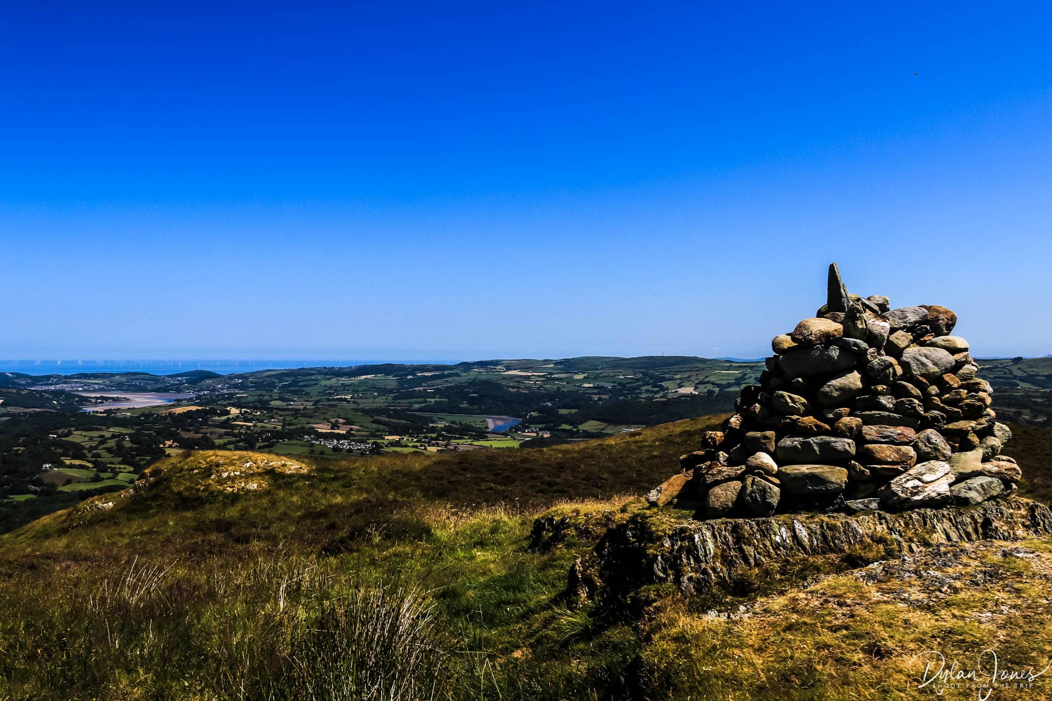
Arriving at the summit, marked by a stone pile, there are superb panoramic views of the Conwy Valley with the River Conwy snaking along the valley floor. Looking north, the towns of Conwy and Llandudno can be seen on the coast, along with fabulous views out to the Irish Sea beyond.

Starting Point Grid Reference: SH743693
Getting there: From the B5106 at Tal-y-Bont, take the turning next to The Bedol pub signposted Llanbedr-y-Cennin. Follow the narrow road for 1.5 miles and there is a left turn marked Pen-y-Gaer. Take the turn and follow the road for a further half a mile and the parking area can be clearly seen on the right.
Distance / Time Allowed: Allow an hour for the return walk to the Pen-y-Gaer summit. The walk is less than half a mile one way, and relatively easy.
5. See the remains of the Dolgarrog dam disaster at Llyn Eigiau

Heading deeper into the Carneddau mountains, you’ll find many more lakes and reservoirs with a number of these being some of deepest and most mysterious in the region. There’s none with story as dramatic as Llyn Eigiau though. Back in 1911, a large dam was constructed at Llyn Eigiau to provide water for the power station in the village of Dolgarrog in the Conwy Valley. The dam stood at eleven metres high and was three quarters of a mile in length. When being built, there were rumours of shoddy workmanship during construction, and on the evening of the 2nd November 1925 after a significant amount of rainfall, the dam failed. A torrent of water flooded the area downstream of the lake including the village of Dolgarrog on the valley floor, where sixteen people where killed and many of the village’s buildings were destroyed.
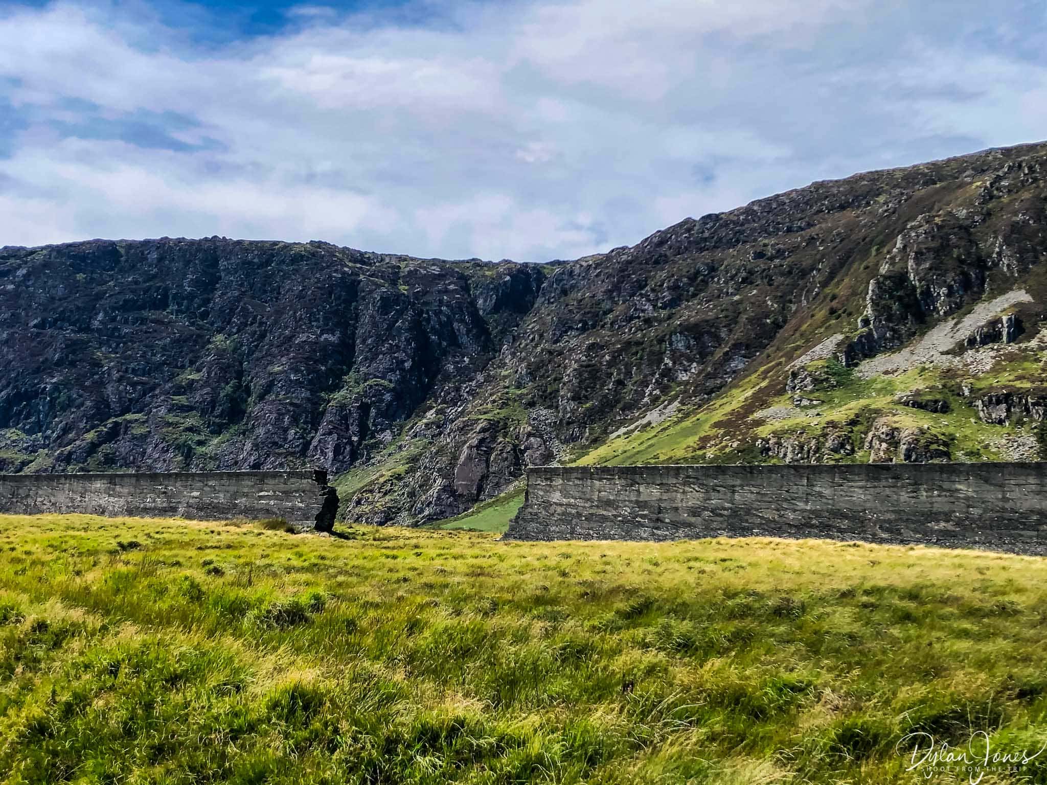
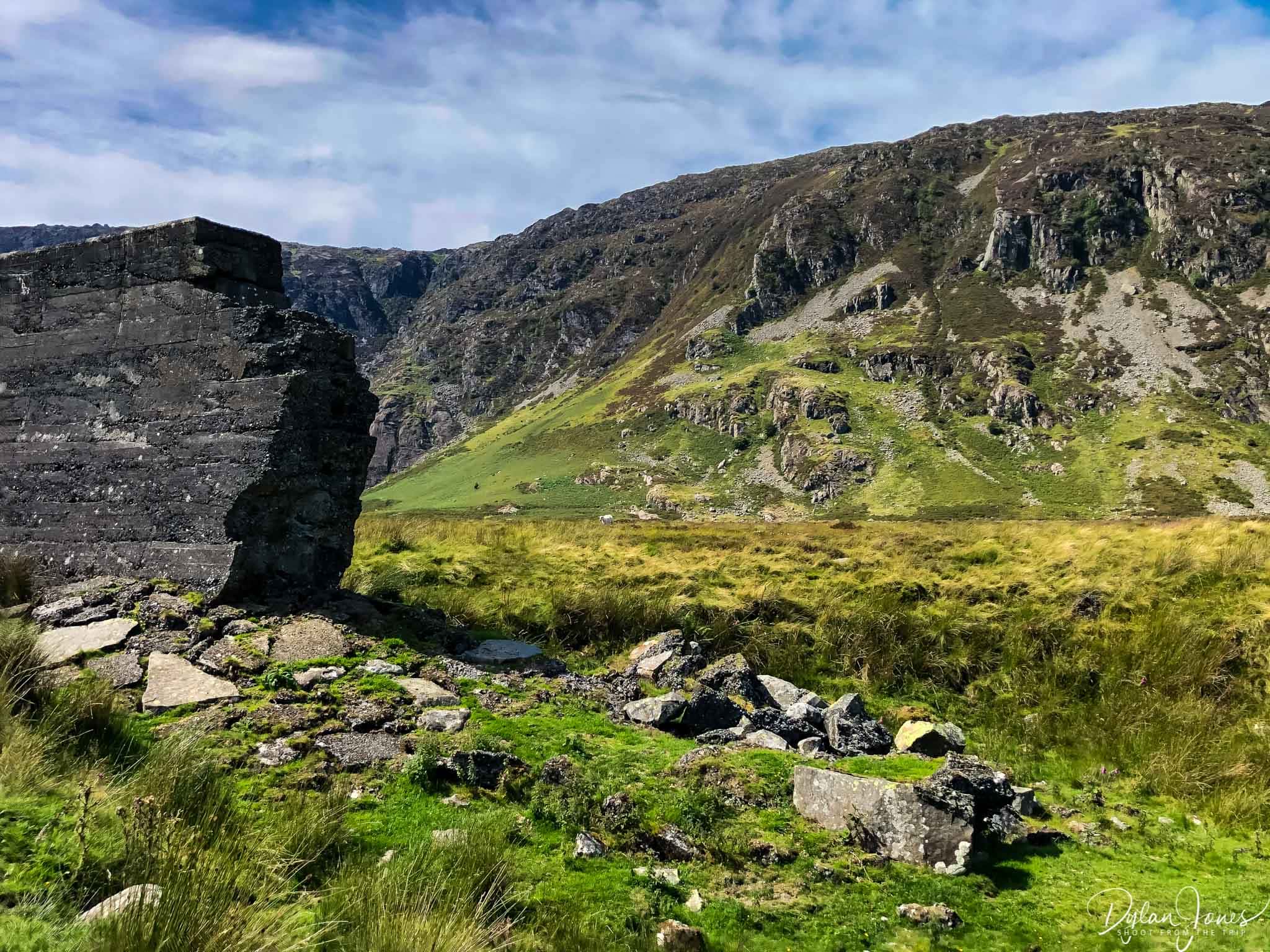
The remains of the dam still stand and the breach in the dam wall can be seen clearly from footpath leading to Llyn Eigiau. There is a relatively large car parking area on the road leading to lake. The car park can get busy as there are several Carneddau hikes that lead from this point, so it’s worth arriving early at weekends or holidays when the weather is good.
From the car park where the road ends, cross the stile directly ahead and follow the footpath for about a mile and soon the dam comes into view. Getting closer, the breach of the dam becomes evident to the right of the footpath, and it’s clear to see a channel that the gushing water created when escaping. It’s quite an eerie sight, knowing the story behind the disaster, and hard to image the volume of water that would have escaped. The footpath carries on from this point, to a point where a large section of the dam has been removed, allowing access to the lakeside.


Starting Point Grid Reference: SH731663
Getting there: From the B5106 at Tal-y-Bont heading from the direction of Conwy, take the right turning shortly after the The Bedol pub (which is not signposted). Follow the very narrow road for just over three miles to reach the car park. There are some gates along the way, which will need to be opened to carry on, but ensure any gates that you pass are closed behind you.
Distance / Time Allowed: Allow about an hour and a half to walk to the Llyn Eigiau and back at a casual pace.
WHY NOT HEAD TO DOLGARROG AFTER THE LLYN EIGIAU WALK TO SEE THE DAM DISASTER MEMORIAL, BEFORE STOPPING AT SURF SNOWDONIA?

MORE ABOUT THE LOCAL AREA
Why not take a look at more things to do in the area?
Explore more of the beautiful Conwy Valley: A SCENIC LOOP OF THE BEAUTIFUL CONWY VALLEY
For information about what to do in the county town: THINGS TO DO IN CONWY: A LOCAL’S GUIDE
Additional simple walks with epic views in the area: SIMPLE NORTH WALES WALKS WITH EPIC VIEWS
SOCIAL
If you enjoyed this article and found it useful, Pin one of the images below to Pinterest.
For regular photo updates on my travels, follow my account on Instagram.
Scroll down (on mobile) to subscribe and get new post alerts directly to your inbox.











I’ve always wanted to go hiking. You look like you had quite the experience